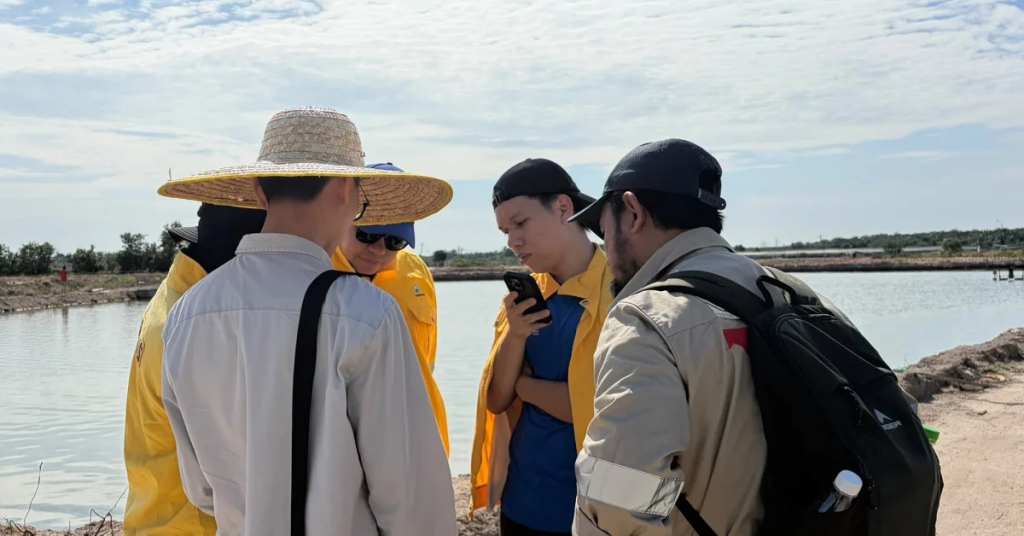
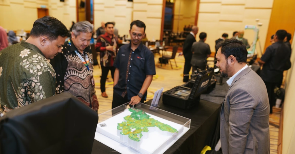
Geotechnica Sdn Bhd (GTSB) is a geotechnical and engineering geology consultancy based in Puchong, Selangor, operating nationwide across Malaysia.
The firm delivers soil investigation, geophysical survey, slope hazard assessment and geoforensic investigation for infrastructure, plantation, quarry and industrial clients, working to BS 5930, ASTM and MS EN 1997 (Eurocode 7). Work is signed off by geologists registered under the Geologists Act 2008 and delivered under CIDB and MOF registration.
A short look at how our teams investigate, survey and stabilise the sites others can't afford to guess on.
Sector Lanes
Flagship projects across Malaysia.
01
CDM & LSM for 512km SSGP
→
02
Remote Sensing for PGB Gas Pipeline
→
03
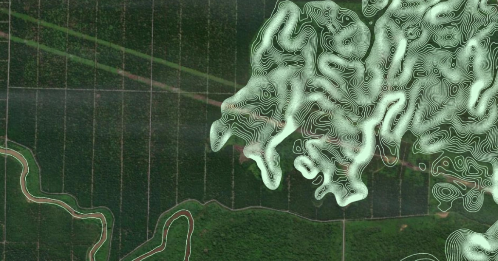
LiDAR Hulu Langat & Bukit Antarabangsa
→
04
LiDAR Gunung Jerai, Kedah (170 km²)
→
05
Segamat Earthquake Impact Assessment (PGU)
→
06
Debris Flow Risk Management Selangor
→
Meet Our Experts
P.Geol. Gs. Hairil Azwan
Managing Director at Geotechnica Sdn. Bhd
P.Geol. Gs. Hairil Azwan is a Professional Geologist with 14+ years of experiences in QRA/sQRA, geo-forensics, RCFA and slope engineering supporting major geotechnical engineering projects in Malaysia.
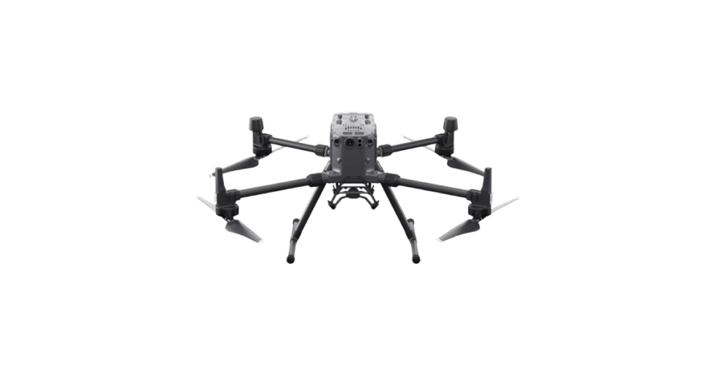
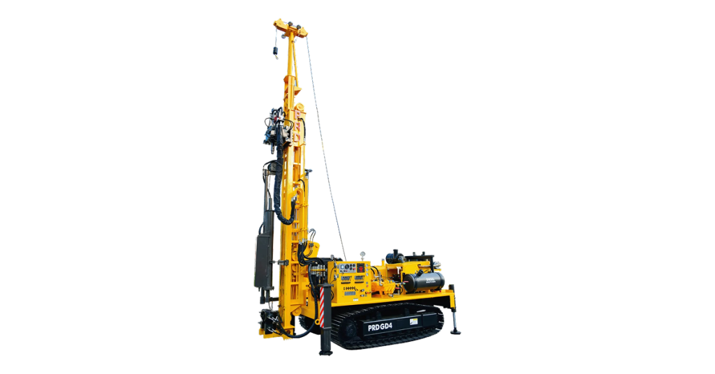
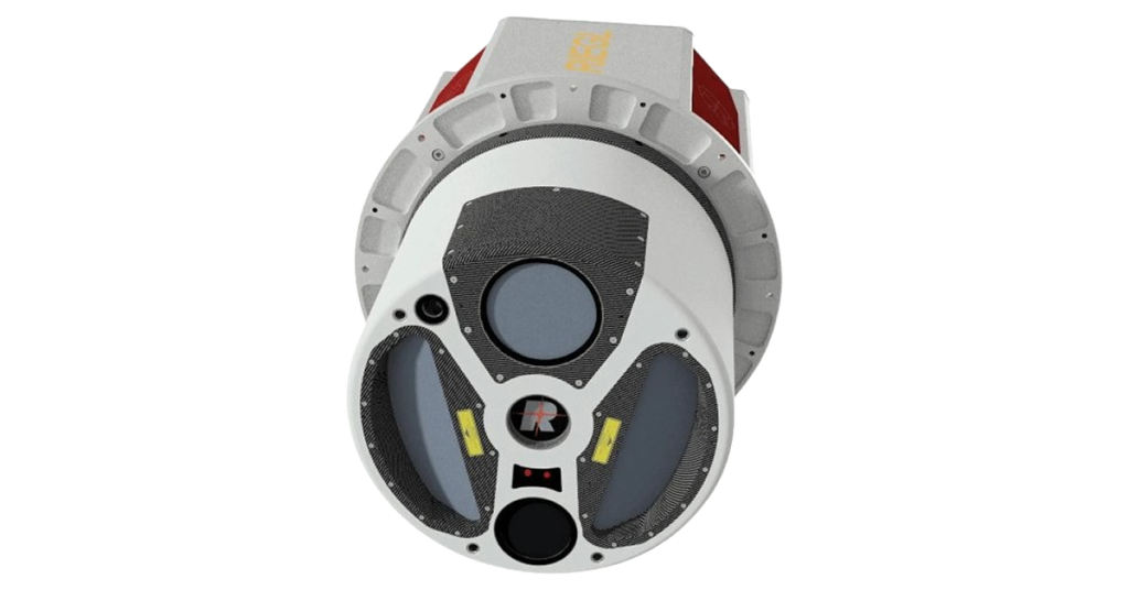
A machine-readable equipment and capability inventory covering rig types and quantities, geophysical systems, GNSS RTK, UAVs and CAAM permits, laboratory testing, and available in-house equipment.
01
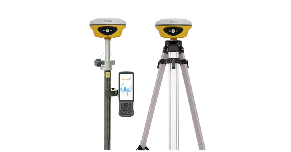
GNSS RTK Systems
02
UAVs & LiDAR Systems
03
Geotechnical Drilling Rigs
04
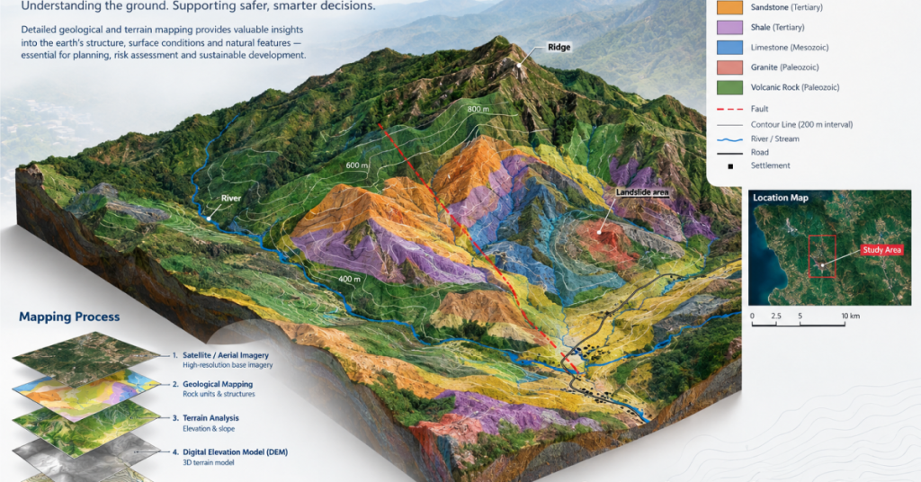
Geological & Terrain Mapping
05
Aerial Photogrammetry Systems
06
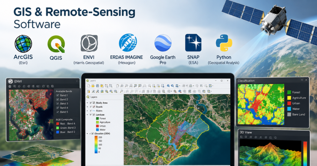
GIS & Remote-Sensing Software
07
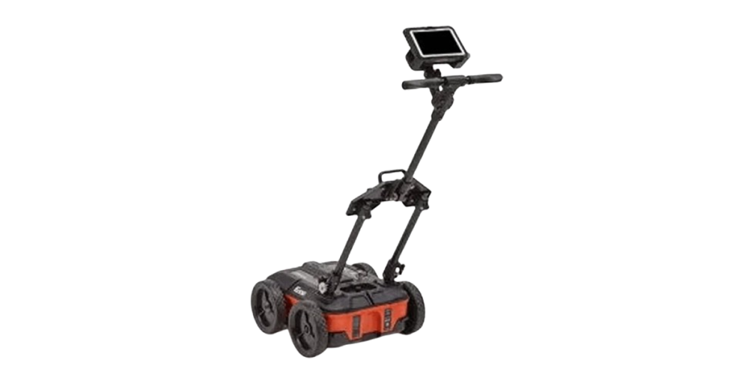
Ground Penetrating Radar (GPR)
08
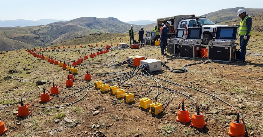
Seismographs & Geophone Arrays
09
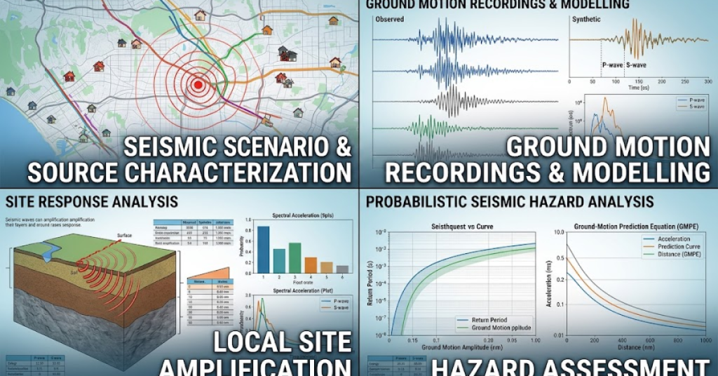
Seismic & Ground-Motion Analysis
10
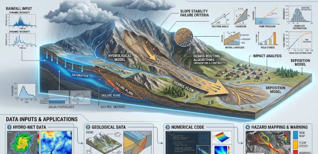
Rainfall & Debris-Flow Modelling
11
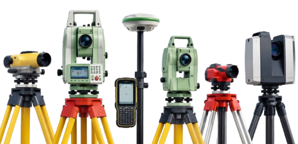
Surveying & Geospatial Equipment
12
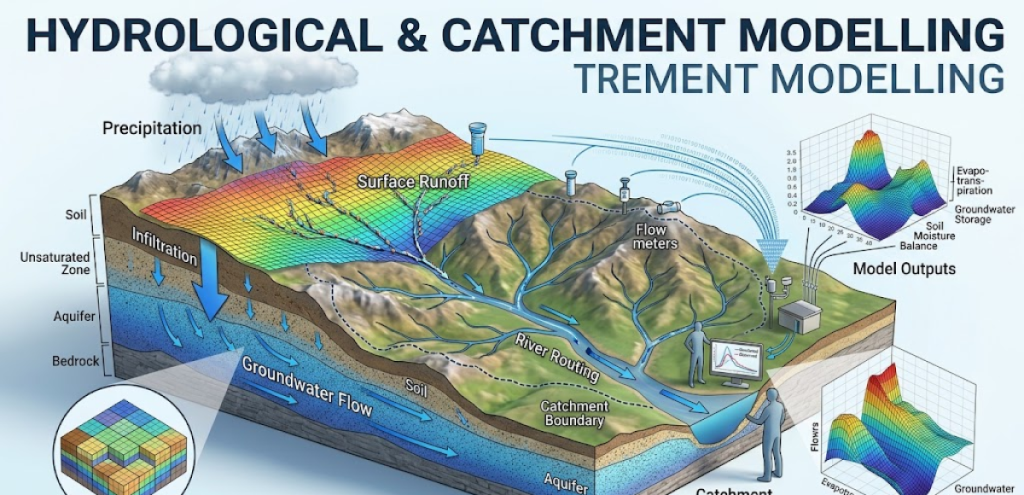
Hydrological & Catchment Modelling
13
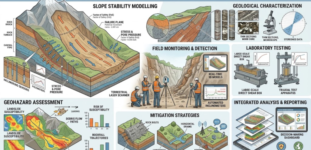
Slope Stability & Geohazard Analysis
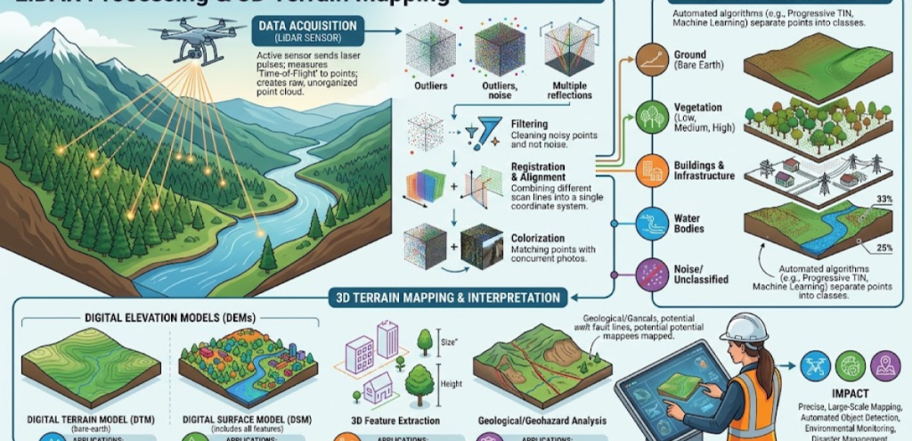
14
LiDAR Processing & 3D Terrain Mapping
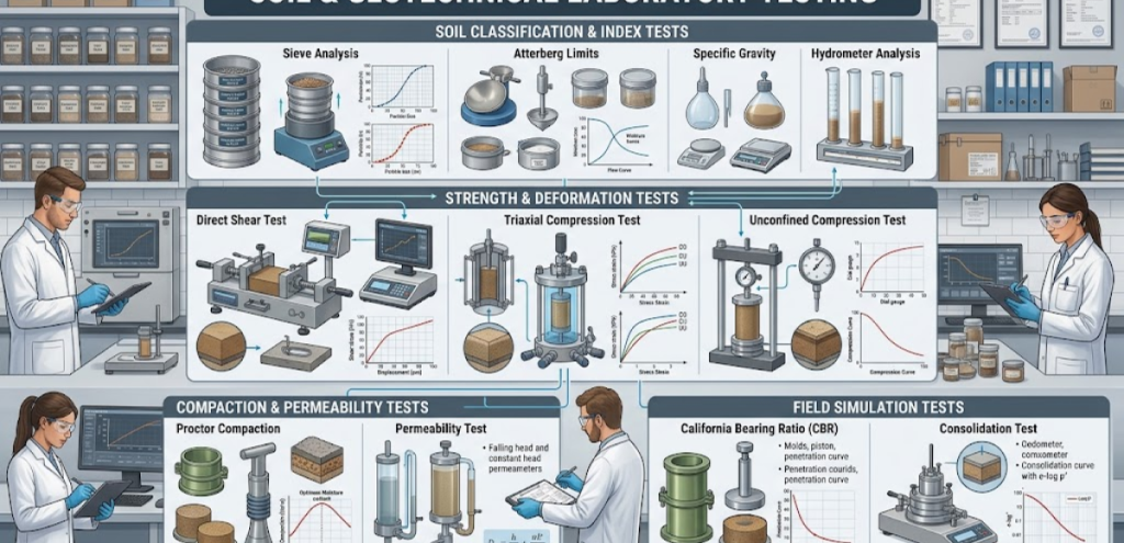
15
Soil & Geotechnical Laboratory Testing
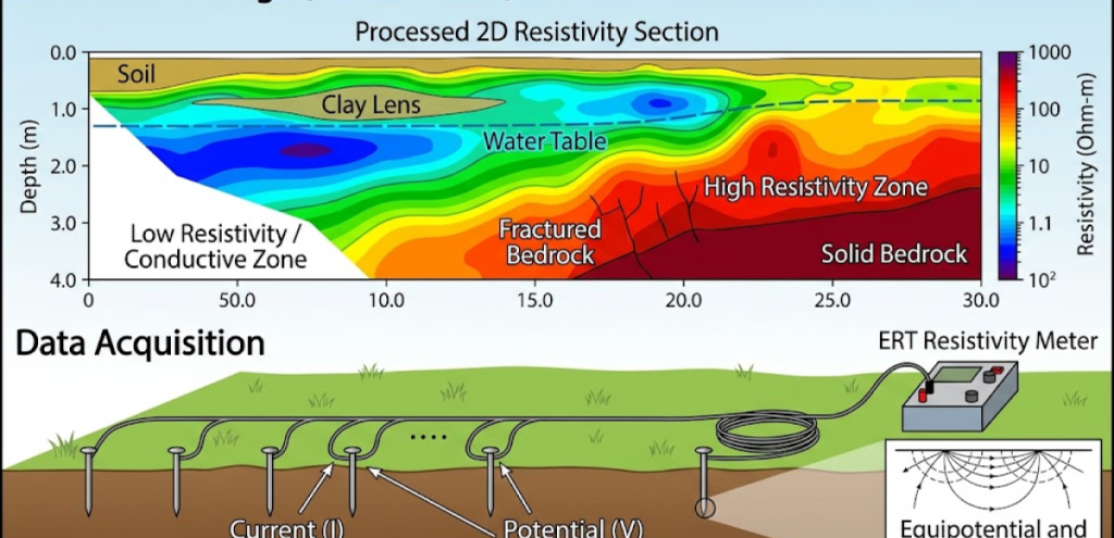
16
Electrical Resistivity Tomography (ERT)
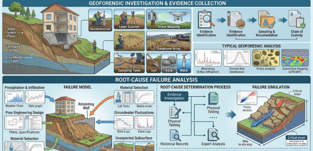
17
Geoforensic & Root-Cause Failure Analysis
18
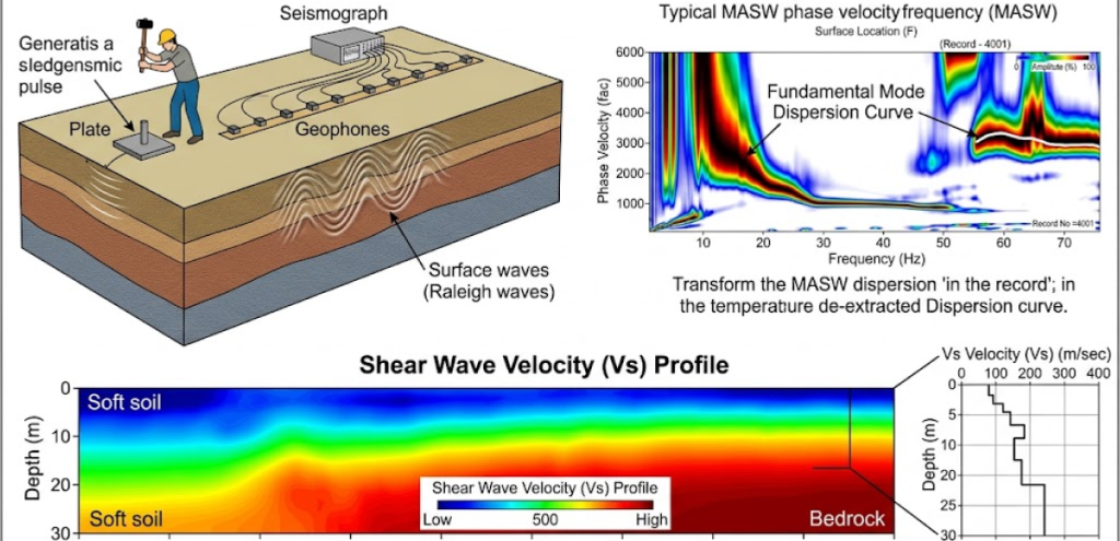
Multichannel Analysis of Surface Waves (MASW)
Standard & Compliance
We follow applicable professional standards, technical guidelines, statutory requirements and regulatory frameworks based on the scope and nature of each project.
BS 5930
Code of practice for ground investigations
MS EN 1997 (Eurocode 7)
Geotechnical design principles
JKR Guidelines for Slope Design
Slope investigation, assessment and design
Geologists Act 2008 (Act 689)
Professional practice and registration requirements
DOSH / OSH Requirements
Construction site safety and occupational health requirements
Environmental Quality Act 1974 (Act 127)
Environmental and EIA requirements, where applicable
Why Us?
Geotechnical & Geological Expertise
We combine geotechnical engineering, geology and site investigation expertise to understand what is beneath your site.
Investigation Based on Your Project
We design the investigation scope around your site, proposed development, foundation requirements and ground conditions.
Professional & Standards-Based
Our work follows relevant Malaysian standards, guidelines and professional requirements for geological and geotechnical investigations.
From Investigation to Decision
We don’t just provide borehole data. We interpret the findings and provide practical information to support foundation, piling and construction decisions.
FAQ
1. How much does a soil investigation cost in Malaysia?
There is no single standard price for soil investigation in Malaysia. The cost depends mainly on the number and depth of boreholes, ground conditions, SPT/testing requirements, laboratory testing, site accessibility, mobilisation and the level of reporting required.
2. How many boreholes do I need for a warehouse on 2 acres?
There is no fixed number based on acreage alone. Borehole requirements depend on the warehouse footprint, structural loads, foundation design, ground conditions and geological risks such as soft soil or limestone cavities.
3. How long does a site investigation take from mobilisation to report?
A typical building site investigation may take around 2–4 weeks, including mobilisation, fieldwork, laboratory testing, interpretation and report preparation. Larger or more complex sites may take longer.
4. Do I need a geotechnical report for CCC / local authority submission?
It depends on the project, local authority and submission requirements. Some developments require geotechnical or soil investigation documentation as part of the technical submission, particularly for significant foundations, earthworks or challenging ground conditions.
5. What is the difference between resistivity survey and borehole investigation?
A resistivity survey uses geophysical methods to identify subsurface variations and possible anomalies, while borehole investigation directly samples and tests the ground. They can be used together, particularly for sites with potentially complex geology.
6. Who can legally sign off a geological report in Malaysia?
Professional geological work must be undertaken by an appropriately registered Professional Geologist (P. Geol.) in accordance with Malaysia’s Geologists Act 2008 and applicable professional requirements. Geotechnical engineering design and certification may require a suitably registered Professional Engineer.
7. How do I check for limestone cavities before piling?
Limestone cavities can be investigated using a combination of boreholes, rock coring and geophysical surveys such as electrical resistivity imaging. Additional targeted boreholes may be required to confirm suspected cavities before finalising piling decisions.
8. Is Geotechnica a legitimate geotechnical company in Malaysia?
Yes. Geotechnica Sdn Bhd is a Malaysian geotechnical engineering and geology company providing soil investigation, geophysical surveys, geological assessment and related services. The company states that it is CIDB/MOF registered and serves projects across Malaysia.
Fresh Insights
Don't Build on Guesswork. Know Your Ground First.
The wrong assumption about your soil can cost far more than a proper site investigation.
Geotechnica helps you understand what lies beneath your project through soil investigation, boreholes, geophysical surveys and geological assessment—so you can make better decisions on foundations, piling and construction before costly problems appear.