Outcome / Problem (+)
What it helps determine
Determines whether the ground beneath a site can safely support its intended structure — foundations, roads, or embankments — before design and construction begin.
Specific evidence
Soil strength and bearing capacity, groundwater level and fluctuation, settlement potential, soil classification and composition.
Definition / Methodology
Core concepts
Soil investigation is the process of studying the physical and mechanical properties of soil at a site to determine whether the ground is suitable to support structures like buildings, roads, or embankments.
Technical components
Borehole drilling and sampling, in-situ field testing (SPT, CPT), laboratory testing, and geotechnical reporting to guide foundation design.
Applications
Where this service is used
01
Soil Sampling
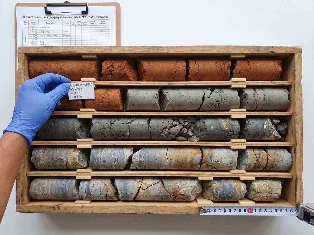
Collecting soil from different depths to analyze its physical and engineering properties.
- Borehole Drilling
- Logging of Soil Strata
- Disturbed & Undisturbed Sample Collection
02
In-Situ Testing
On-site tests performed directly in the ground to assess soil strength and behavior.
- Cone Penetration Test (CPT)
- Standard Penetration Test (SPT)
- Vane Shear & Field Density Tests
03
Soil Classification
Identifying soil types based on grain size, texture, and plasticity to understand its behavior.
- Visual & Tactile Soil Inspection
- USCS or AASHTO Soil Group
- Laboratory Classification
04
Laboratory Testing
Detailed testing of soil samples to measure strength, compressibility, and other properties.
- Compaction & CBR Tests
- Moisture Content & Unit Weight
- Shear Strength, Consolidation & Permeability Tests
05
Groundwater Analysis
Assessing groundwater level and flow to understand its impact on soil and foundation.
- Water Table Monitoring
- Piezometer Installation
- Seasonal Groundwater Fluctuation Analysis
06
Settlement Estimation
Calculating how much and how fast a structure may sink due to soil compression.
- Load-Settlement Curve Generation
- Prediction of Long-Term Settlement
- Primary & Secondary Consolidation Analysis
Process
How the assessment is carried out
01
Desktop Study & Site Reconnaissance
Review existing geological data and site history to plan borehole locations.
02
Field Drilling & In-Situ Testing
Borehole drilling, SPT/CPT testing, and sample collection across the site.
03
Laboratory Testing
Soil samples tested for strength, compressibility, classification and permeability.
04
Reporting & Recommendations
Deliver a geotechnical report with foundation design and construction recommendations.
Equipment & Technology Capabilities / Methods
What we use in the field
Outputs / Deliverables
What you receive
Borehole / soil strata log
SPT & CPT test results
Groundwater level data
Laboratory test results
Geotechnical report & foundation recommendations
Malaysian Context
Why this matters here
Local condition
Malaysia's varied geology, soft ground areas and frequent rainfall make ground conditions highly variable from site to site.
Implication
Soil investigation data is essential to guide safe foundation design and construction methods, and to prevent ground failure or unexpected settlement.
Integration / Related Services
Often paired with
Slope Hazard Assessment
Soil strength and groundwater data support slope stability modelling.
Electrical Resistivity
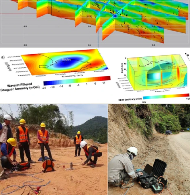
Non-invasive subsurface imaging complements borehole and lab data.
Geological Map Assessment
Structural geology context helps interpret soil investigation findings.
Case Study
Engineering Geological Mapping at Politeknik Mersing
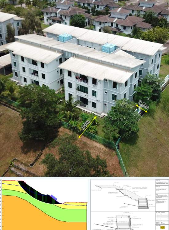
2022 · JKR Cawangan Cerun / GoGEO Engineering
Challenge
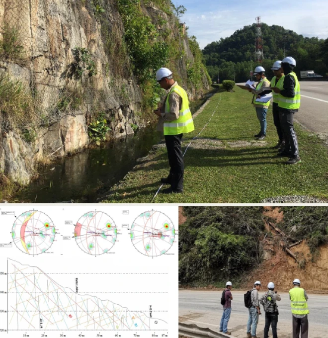
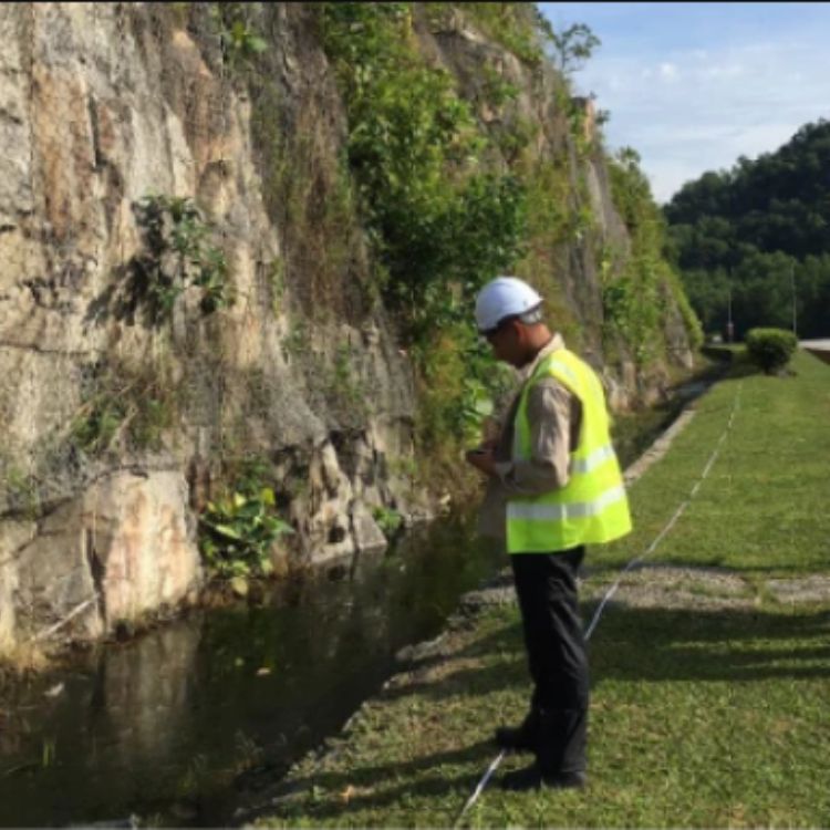
JKR needed to understand why failed slopes at Politeknik Mersing, Johor showed signs of distress, in an area characterised by phyllite, slate, shale and sandstone of the Mersing Formation.
Approach
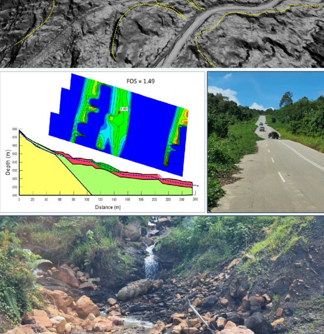
Desk study and field assessment characterising the site's geology and fill materials (predominantly clay, mixed grains), followed by slope stability analysis at two sites.
Finding
Factor of safety at both sites came in lower than JKR's recommended threshold, linked to ineffective drainage and the composition of fill material.
Outcome
Delivered conclusions and recommendations based on the ground assessment to guide remediation.
Standards / Compliance
Soil investigation work follows BS 5930 (Code of Practice for Ground Investigations) and relevant Malaysian Standards (MS) for field and laboratory testing methods.
Standards / Compliance
Proof points
01
High-End Equipment — equipped with the latest field and laboratory testing equipment for 100% accuracy of data & statistics.
02
National-Level Project Experience — since 2020, we've handled 20+ state and national-level soil investigation and geotechnical projects.
03
Certified Engineers & Surveyors — our engineers & surveyors are international and local graduates with extensive geo-engineering experience.
04
Custom Report & GIS Integration — you'll receive 100% accurate reporting documents with GIS integration where needed.
FAQ
Frequently asked questions
What is soil investigation?
Soil investigation is the process of studying ground conditions before construction to ensure safety and stability.
Why is soil investigation important in Malaysia?
Malaysia’s soft soils, rainfall, and mixed geology make soil studies essential for safe foundation design.
What does soil investigation include?
It includes borehole drilling, in-situ tests (like SPT), lab testing, and geotechnical reporting.
What is a borehole test?
A borehole test drills into the ground to collect soil samples and measure depth to rock or water.
What is SPT (Standard Penetration Test)?
SPT is a field test to measure soil strength by driving a split spoon sampler into the ground.
How deep is soil investigation usually done?
Typical depths range from 3 to 30 meters, depending on the building load and soil type.
How long does a soil investigation take?
A standard soil study may take 2–5 days on-site, plus several days for lab work and reporting.
Can I build without soil investigation?
It’s not recommended. Without soil data, there’s a risk of settlement, cracks, or failure.
What is in the soil report?
It includes soil layers, test results, groundwater info, and foundation design recommendations.
Why choose Geotechnica for soil investigation?
We offer accurate, reliable soil studies using certified methods and expert geotechnical engineers.
gallery
Project photography