Geotechnical, Geological & Geospatial Services in Malaysia
Know what is beneath, around and changing across your site.
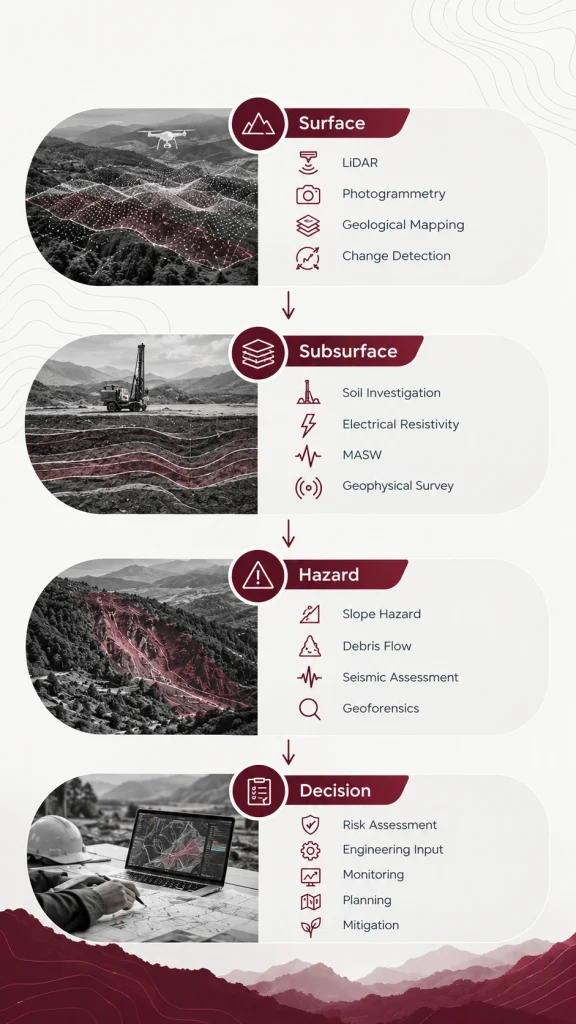
Geotechnica provides integrated geotechnical, geological, geophysical, LiDAR, remote sensing and geohazard assessment services for infrastructure, development, environmental and industrial projects across Malaysia.
Map submerged terrain and bathymetric conditions where conventional ground surveys cannot reach.
Underwater Bed Topography Mapping
Our Geo-Engineering & Geospatial Services
Every site tells a different geological story. The right investigation depends on the terrain, project objective, scale, accessibility and risks involved.
Our services can be deployed individually or combined into an integrated investigation workflow.
01
Remote Sensing & 3D Mapping
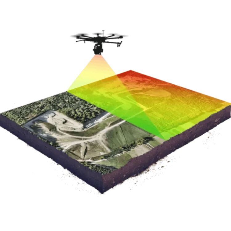
LiDAR
Precision terrain data for complex and inaccessible environments.
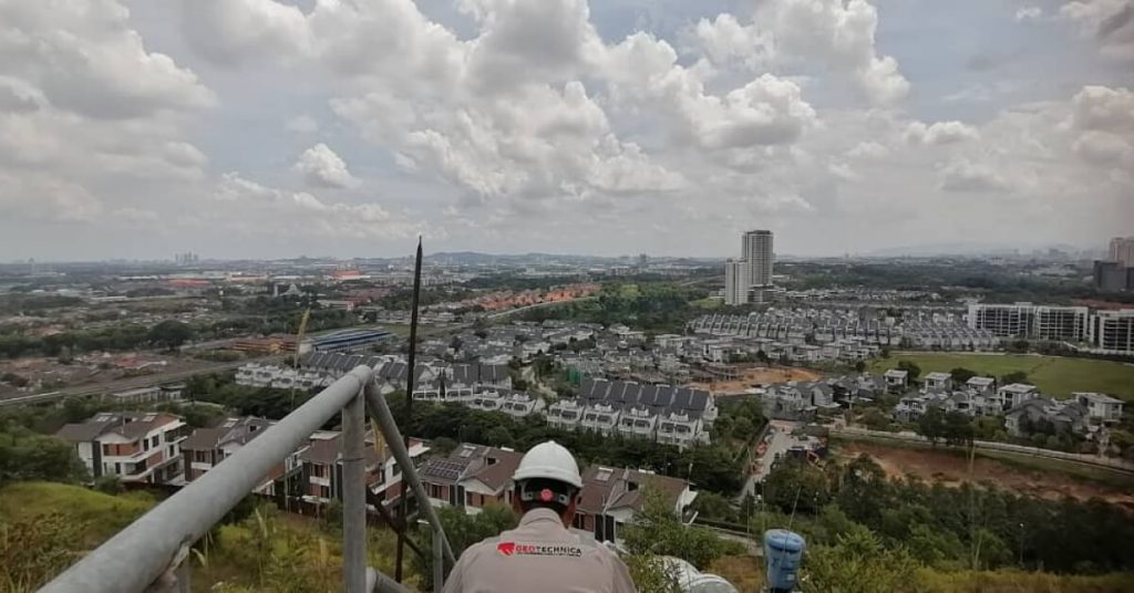
Capture high-resolution 3D terrain data for topographic mapping, slope assessment, infrastructure planning, flood analysis and geohazard studies.
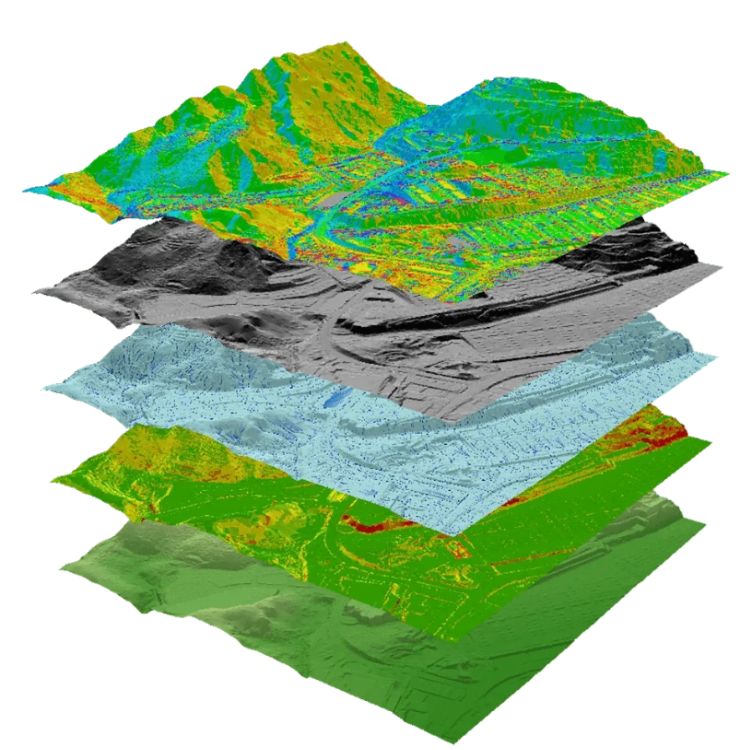
Compare geospatial datasets captured at different times to identify changes in terrain, land cover, vegetation, development, erosion and other surface conditions.
Map rock types, geological structures, terrain characteristics and surface conditions to establish the geological context required for engineering and environmental decisions.
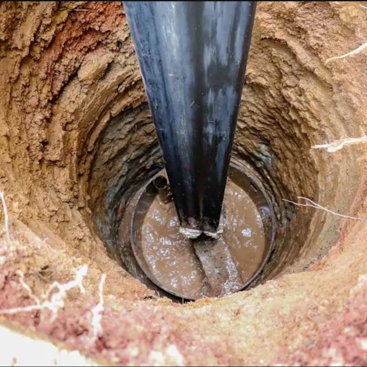
Investigate soil and subsurface conditions to establish the engineering properties and geological profile required for design, construction and risk assessment.
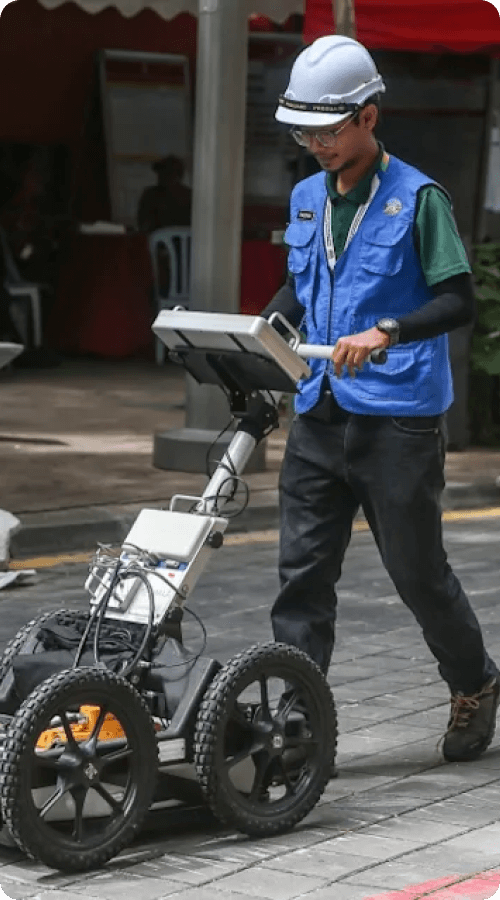
Electrical resistivity surveys measure variations in subsurface electrical properties to help identify soil and rock boundaries, groundwater zones, voids and other subsurface anomalies.
Identify ground deformation risk before it becomes a structural problem.
Use remote sensing and geospatial analysis to identify and monitor ground deformation, settlement and changes in surface elevation across development or infrastructure areas.
Geoforensics combines geological, geotechnical, geophysical, remote sensing and historical evidence to investigate the causes of ground-related failures and disputes.
Make development decisions with the environment in view.
Integrate geological, geospatial and environmental information to understand how development and natural processes interact with land, water and surrounding ecosystems.
Understand how terrain, water and land use interact across a catchment.
Use terrain modelling, hydrological analysis and geospatial data to understand river systems, drainage patterns, erosion risks and catchment behaviour.
Ground conditions rarely tell their story through one dataset.
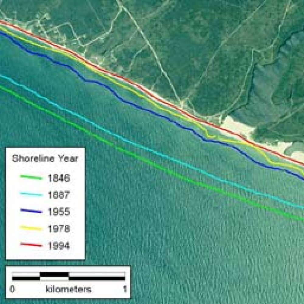
A slope may require terrain mapping, geological interpretation, geophysical investigation and soil data. A coastal project may require historical imagery, shoreline analysis and bathymetric information.
Our approach is to combine the right evidence for the question—not force every project into the same investigation method.
Not Sure Which Investigation Your Project Needs?
You may not need every method. The right approach depends on your project objective, terrain, accessibility, scale and the question you need answered.
We look at:
01
Project objective
What decision needs to be made?
02
Site conditions
What is known about the terrain, geology and existing ground conditions?
03
Scale & accessibility
Can the area be safely and efficiently investigated from the ground, air or both?
04
Risk
What could happen if an unknown ground condition is missed?
05
Available evidence
What existing surveys, historical data, imagery or investigation results can be integrated?
06
Required output
Does the project need a map, model, assessment, investigation report or monitoring dataset?
Our investigation and assessment workflows are developed with reference to applicable Malaysian legislation, engineering standards, professional requirements and project-specific specifications.
Other applicable project, authority and professional requirements
Applicable standards depend on project scope, authority requirements and professional discipline.
Why Us?
1. Geotechnical & Geological Expertise
We combine geotechnical engineering, geology and site investigation expertise to understand what is beneath your site.
2. Investigation Based on Your Project
We design the investigation scope around your site, proposed development, foundation requirements and ground conditions.
3. Professional & Standards-Based
Our work follows relevant Malaysian standards, guidelines and professional requirements for geological and geotechnical investigations.
4. From Investigation to Decision
We don’t just provide borehole data. We interpret the findings and provide practical information to support foundation, piling and construction decisions.
FAQ
1. What geotechnical and geospatial services does Geotechnica provide in Malaysia?
Geotechnica provides integrated geotechnical, geological, geophysical and geospatial services across Malaysia, including soil investigation, LiDAR mapping, geological mapping, geophysical surveying, electrical resistivity, MASW, aerial photogrammetry, slope hazard assessment, geoforensics, debris flow assessment, seismic assessment, DSAS and underwater bed topography mapping. Services can be combined where a project requires evidence from both surface and subsurface conditions.
2. Which ground investigation services are suitable for Malaysian construction and development projects?
The appropriate investigation depends on the site’s geology, terrain, proposed development and the level of ground uncertainty. In Malaysia, soil investigation may include borehole drilling, Standard Penetration Tests (SPT), soil sampling and laboratory testing, while geophysical methods such as electrical resistivity and MASW can provide additional information about subsurface layers, groundwater, bedrock and ground stiffness. Geotechnica can integrate these methods to develop a more complete understanding of site conditions before design or construction.
3. Can Geotechnica assess slope and landslide risks for hillside developments in Malaysia?
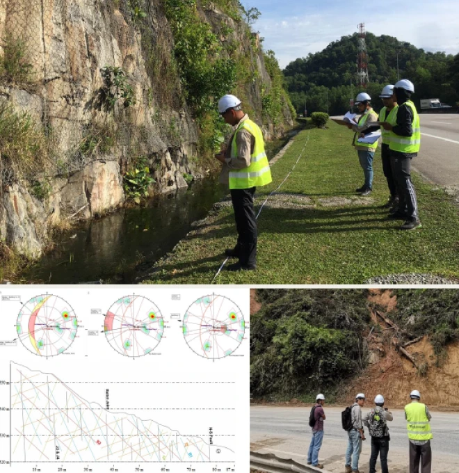
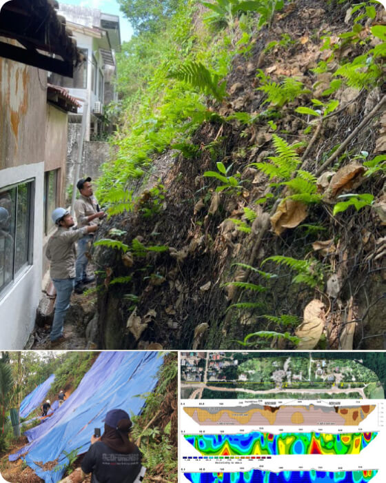
Yes. Geotechnica provides slope hazard and risk assessment for hillside developments, roads, infrastructure and other sites where slope instability may be a concern. The assessment can combine geological mapping, terrain data, site investigation, geophysical surveys, slope stability analysis and hazard mapping. Malaysian conditions such as steep terrain, intense rainfall, drainage conditions, geology and construction activities may all contribute to slope instability and therefore need to be considered together.
4. Should I use drone LiDAR, airborne LiDAR or aerial photogrammetry for a site in Malaysia?
It depends on the project area, terrain, accessibility and required data. Drone LiDAR is suitable for detailed mapping of smaller or complex sites, including areas with vegetation or difficult ground access. Airborne LiDAR is more suitable for large or remote areas requiring wider coverage, while aerial photogrammetry can produce orthophotos, point clouds and 3D terrain models from aerial imagery. The appropriate method should be selected based on the project’s mapping objective rather than using the same technology for every site.
5. Can Geotechnica combine LiDAR, geological mapping and geophysical surveys for one project?
Yes. Complex Malaysian sites often require multiple layers of evidence because surface terrain alone cannot explain subsurface conditions. Geotechnica can integrate LiDAR or photogrammetry with geological mapping, electrical resistivity, MASW, soil investigation and other geophysical methods to correlate surface and subsurface information. This integrated approach is particularly useful for slope hazards, infrastructure projects, ground failures and large or difficult-to-access sites.
Have a Ground Condition You Need to Understand?
Tell us what you are planning, what you are investigating or what has gone wrong. Our team can help determine the appropriate geological, geotechnical, geophysical or geospatial approach for your site.