Our Team

The people behind the ground truth.

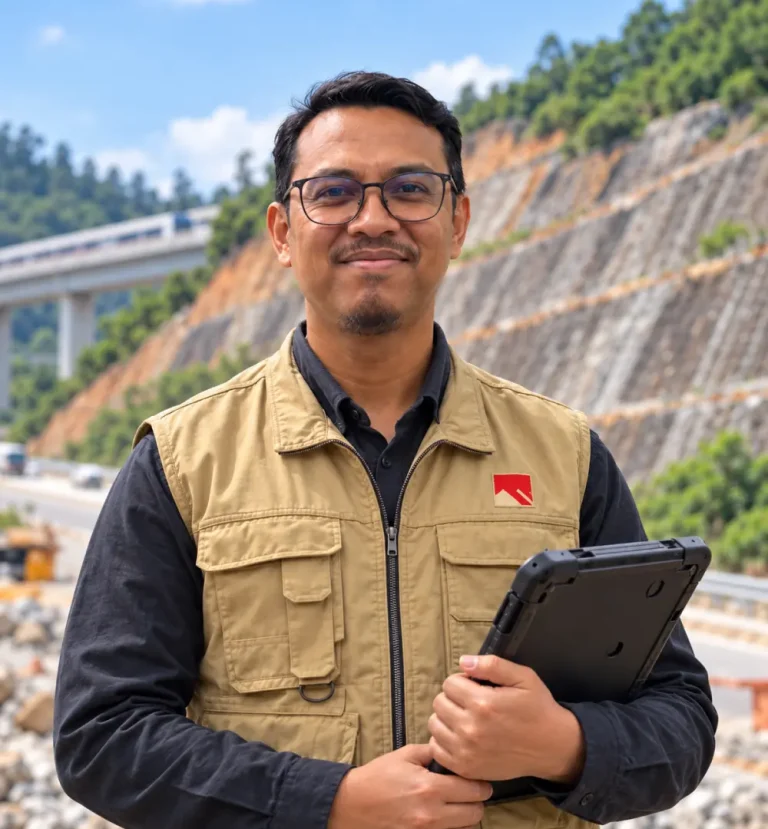
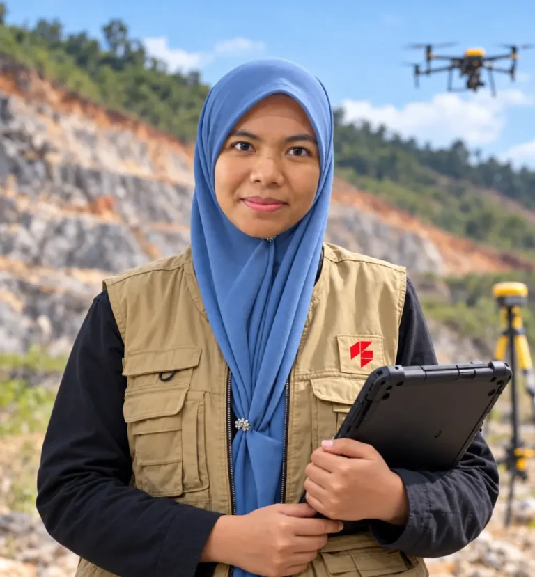
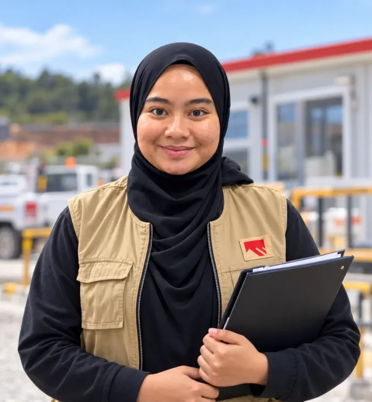
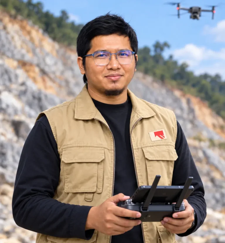
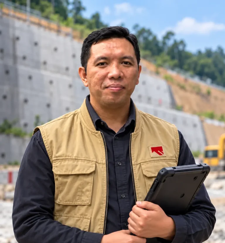
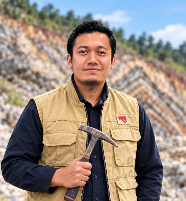
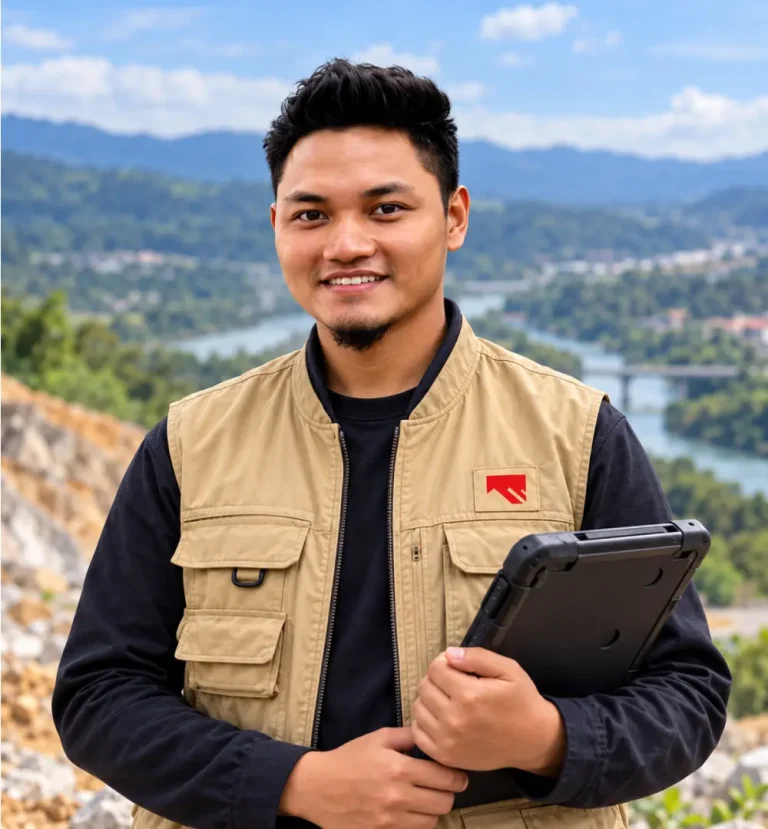
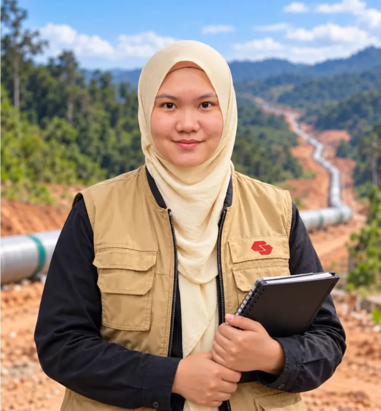
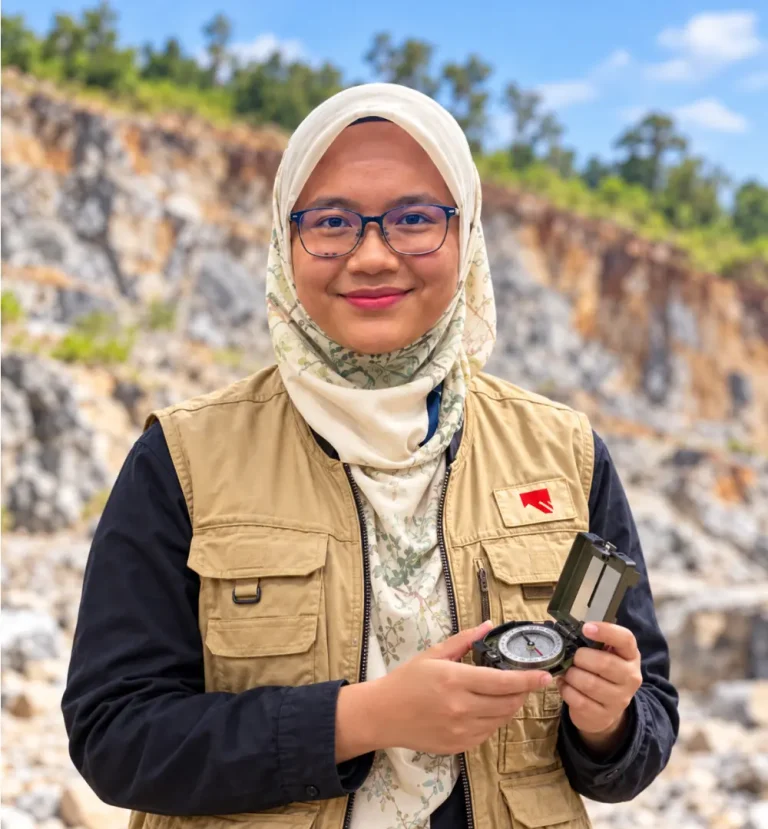
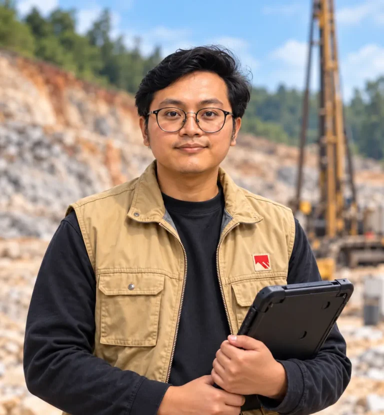
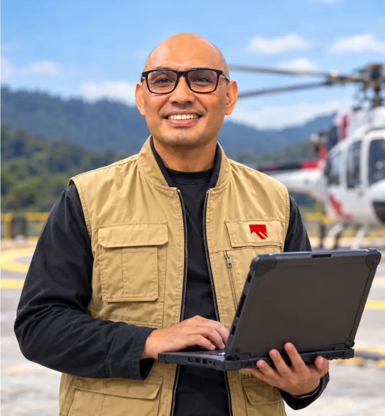
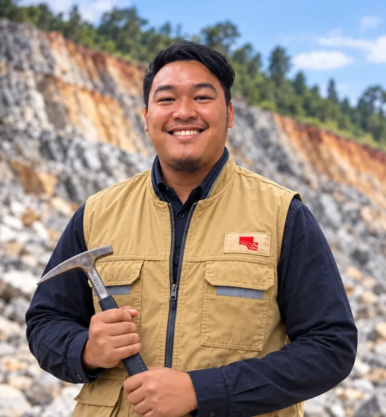
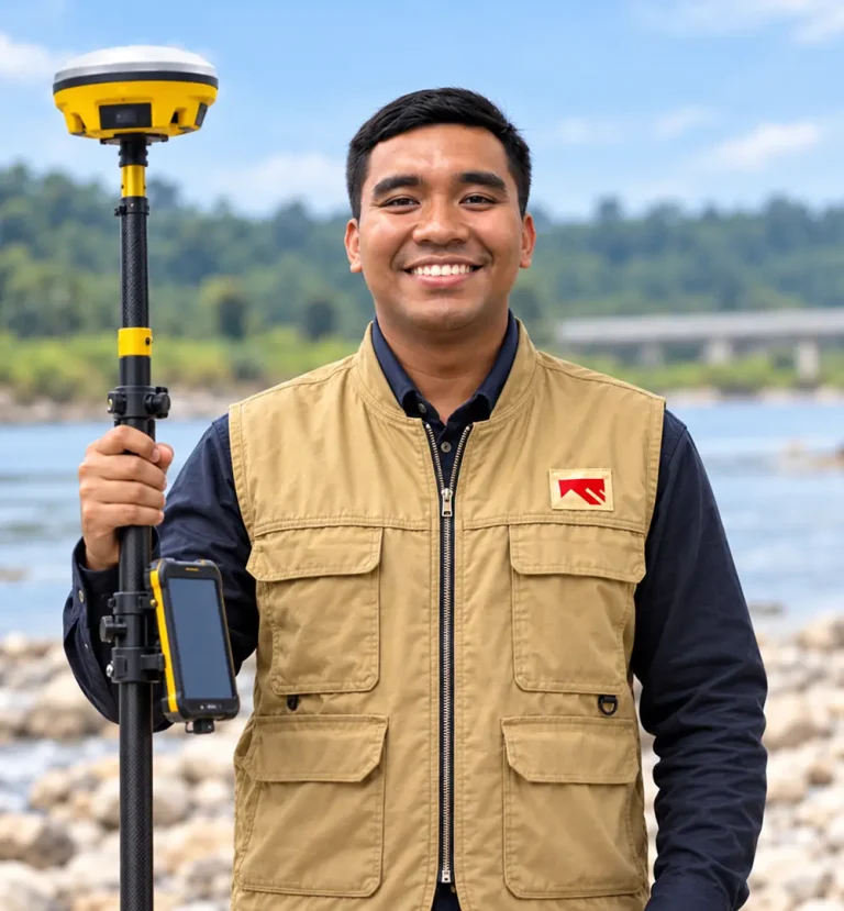
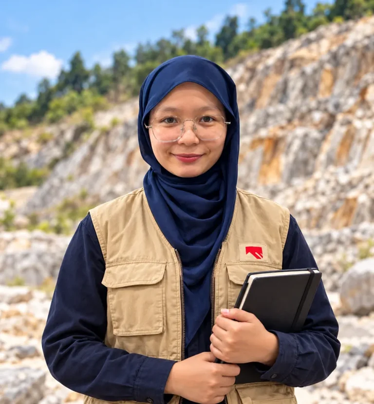
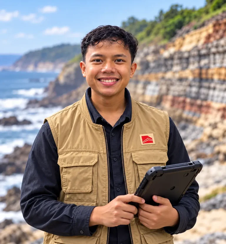
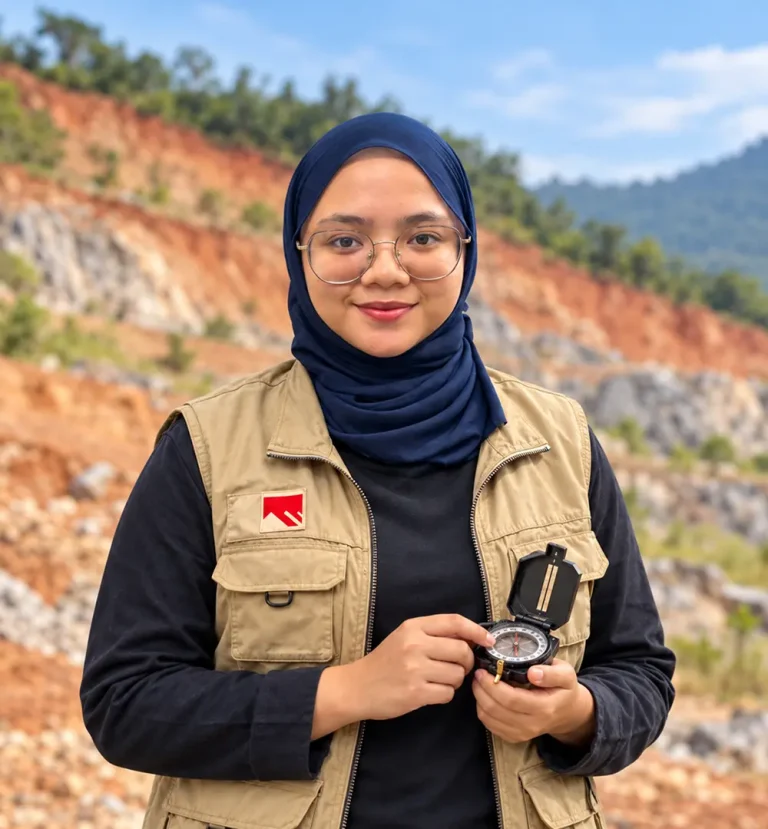
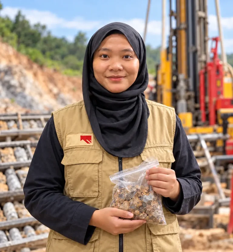
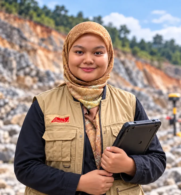
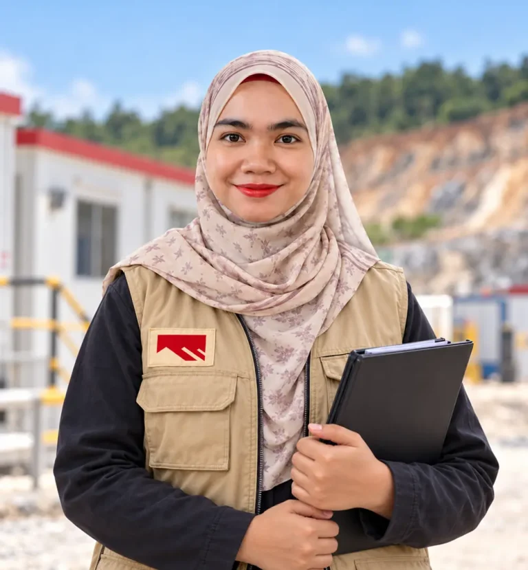
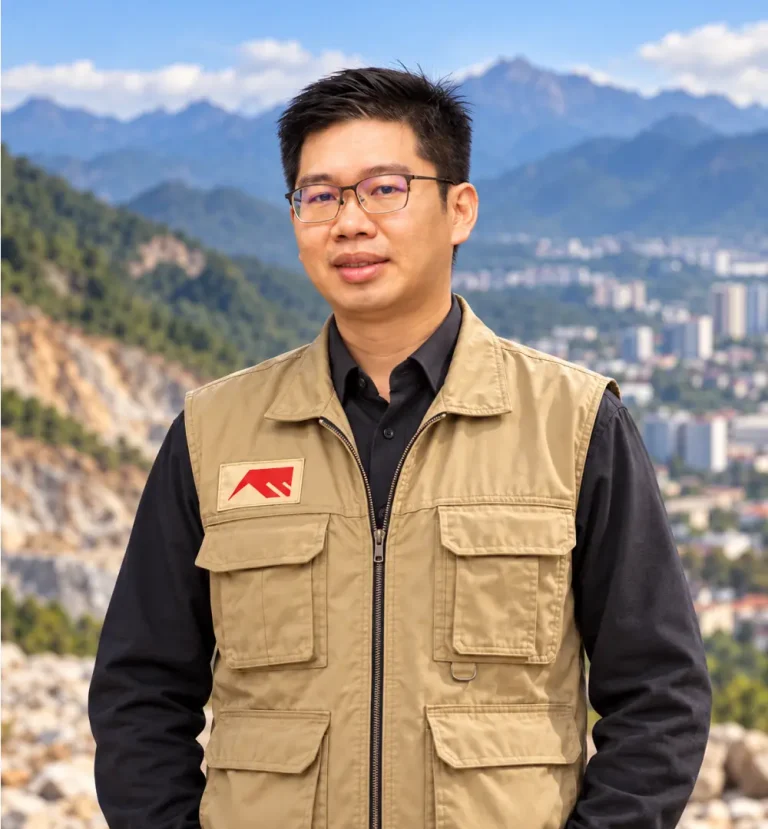
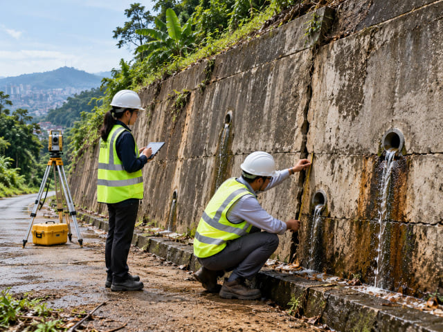
Tackling geotechnical challenges that shape our nation requires exceptional minds. Geotechnica brings together professional geologists, geotechnical engineers, geospatial specialists and LiDAR processors, committed to building a safer, stronger Malaysia.

Disciplines

One Team, Multiple Layers of Expertise

21 professionals across geology, geotechnical engineering, geospatial work and academic advisory, so every project is scoped and signed off by the right specialist.

Engineering Geology

Geological mapping, rock-slope assessment, geohazard and geoforensic investigation.

Geotechnical Engineering

Soil investigation, slope engineering and foundation input signed off by Ir.

Geospatial & LiDAR

GIS, remote sensing, LiDAR processing, photogrammetry and change detection.

Advisory & Research

Academic collaborators strengthening methods and technical review.

Meet Our Experts

The People Behind the Ground Truth

Registered Professional Geologists, Professional Engineers and Geospatialists, working on everything from hillside developments to 512 km pipeline corridors.
asrizul anuar

P.Geol. Asrizul Anuar

13+ years in slope hazard and risk assessment. Worked on MRT Klang Valley and KL–Singapore HSR.

nurul najihah

Gs. Nurul Najihah

14+ years in GIS, geohazard and risk assessment and geotechnical audit. Professional Geospatialist (IGRSM).

zahezah rakyah geotechnical engineering service company malaysia

Zahezah Rakyah

Mathematics degree (UKM), with nearly 10 years in risk model development and validation.

nor ibrahim

Ir. Nor Ibrahim

Slope engineering and flood mitigation. DOE-registered SME, BEM Professional Engineer since 2021.

ahmad kamil

Ahmad Kamil

Structural and engineering geology, with a focus on old-dormant landslides.

izzul syahmi

Izzul Syahmi

Geo-forensic, geohazard, terrain and rock slope mapping. Certified in Data Engineering.

muhammad shazali

Muhammad Shazali

GIS models for landslide and flood susceptibility and groundwater potential.

natra ameera

Natra Ameera

Mapping and geohazard work on the Sabah-Sarawak Gas Pipeline and critical slopes.

nik nur arjrina

Nik Nur Ajrina

Geological mapping and geohazard assessment. Skilled in ArcGIS and Rocscience.

akmal

Akmal

Site investigation, geological terrain mapping and geohazard assessment.

fairul afikin

Fairul Afikin

Full LiDAR workflow: calibration, point cloud classification and feature extraction.

khairulanwar

Khairulanwar

Geo-forensic studies, geohazard assessment and rock slope investigation.

nur alif najmi

Nur Alif Najmi

Land surveying, remote sensing, hydrography and utility mapping.

nur farhana

Nur Farhana

Geological mapping and rock slope stability in weathered granitic rock.

ahmad abdillah

Ahmad Abdillah

Marine Geoscience graduate working on geological mapping and site investigation.

tengku hariza darwisya

Tengku Hariza Darwisya

Geological terrain mapping, site investigation and geohazard evaluation.

nuraliah

Nuraliah

Geological mapping, soil investigation, geohazard assessment and risk evaluation.

nur aunina syairah

Nur Ainina Syairah

Site investigation, geological mapping and geohazard assessment.

nur amirah hannah

Nur Amirah Hannah

Bachelor of Accounting (UNITEN), CPA Australia programme.

lim choun sian

P.Geol. Gs. Dr. Lim Choun Sian

21+ years. PhD in geological hazards & disaster risk management. Senior Researcher at SEADPRI, UKM.

aizat mohd taib

Ts. Dr. Aizat Mohd Taib

Senior lecturer in geotechnical engineering at UKM. PhD (Newcastle University) in slope stability.

Careers at Geotechnica

Build Your Career in Geoscience

We’re always looking for geologists, engineers and geospatial specialists who want real field exposure on projects that matter, from hillside developments to national pipeline corridors.


Put Our Team to Work on Your Site

Tell us what you’re planning, investigating or trying to fix. We’ll match the right specialists to your project.

Scroll to Top