Geologist / Geospatialist

Muhammad Shazali

A UMS geology graduate with advanced GIS skills, producing landslide and flood susceptibility, groundwater potential and slope hazard models.

muhammad shazali

Profile

About Shazali

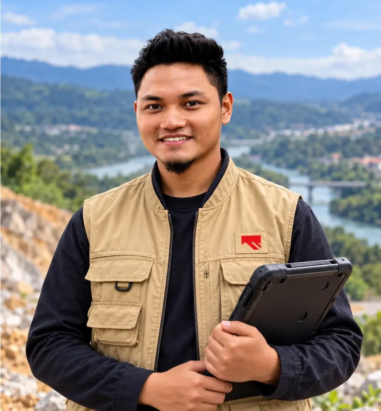
Muhammad Shazali serves as Geologist / Geospatialist at Geotechnica Sdn Bhd. He is a graduate of Universiti Malaysia Sabah (UMS) with a degree in Geology.

He has been involved in various projects, including geological mapping, geophysical surveys, and geohazard and risk assessments.

With advanced skills in GIS, he has produced analyses and models for landslide and flood susceptibility, groundwater potential and slope hazards.

At a Glance

Position
Geologist / Geospatialist

Education
BSc Geology, UMS

Focus areas
GIS modelling · Landslide & flood susceptibility · Geohazard & risk

Based in
Puchong, Selangor

Education & Credentials

Qualifications & Registration

Education

BSc Geology

Universiti Malaysia Sabah.

Technical skills

Advanced GIS

Spatial analysis and susceptibility modelling.

Field skills

Geophysical Survey

Survey support for subsurface investigation.

Education & Credentials

Areas of Experience

Combines field geology with GIS modelling to map where hazards are most likely.

GIS models

What Shazali Maps

Hazards

Landslide & Flood Susceptibility

GIS models showing where landslides and floods are most likely.

Resources

Groundwater Potential

Mapping areas with groundwater potential.

Work with Shazali

Need a Susceptibility Map for Your Area?

Talk to Shazali and our geospatial team about landslide, flood or groundwater mapping for your project.

Scroll to Top