
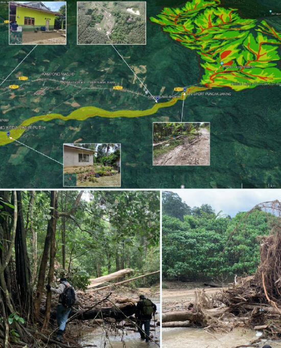
Debris Flow Assessment at Puncak Janing
CLIENT
YEAR
Jabatan Mineral & Geosains / GoGEO Engineering
2022
JOB DETAIL
This project involve geological, geomorphological, and geological hazards mapping of debris flow at Taman Eko Rimba (TER) Puncak Janing in Bukit Perangin Forest Reserve. The study area is underlain by North-West Domain Granite except for the northwest area underlain by Kubang Pasu Formation. The elevation varies from 75m to 726m. Natural slopes of >35 degrees are found upstream that may trigger landslides and debris flows. Dead trees and boulders, pebbles, sand, and gravel along the river may form temporary natural dams and be sources of debris during debris flows.
The geological hazards map produced shows the destruction zone, danger zone, and safe zone resulting from field geological mapping, anatomy study, and geological hazards study.