Outcome / Problem (+)
What it helps determine
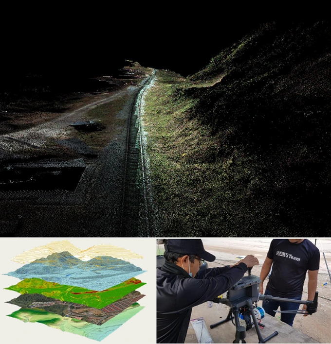
Captures precise terrain, elevation and geohazard conditions across a site — including areas that are hard to reach on foot or hidden beneath dense vegetation.
Specific evidence
Ground elevation, slope gradient, canopy-penetrated terrain, point cloud density and accuracy, vegetation cover extent.
Definition / Methodology
Core concepts
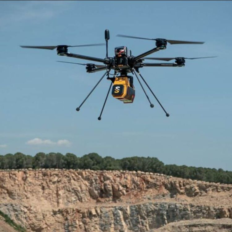
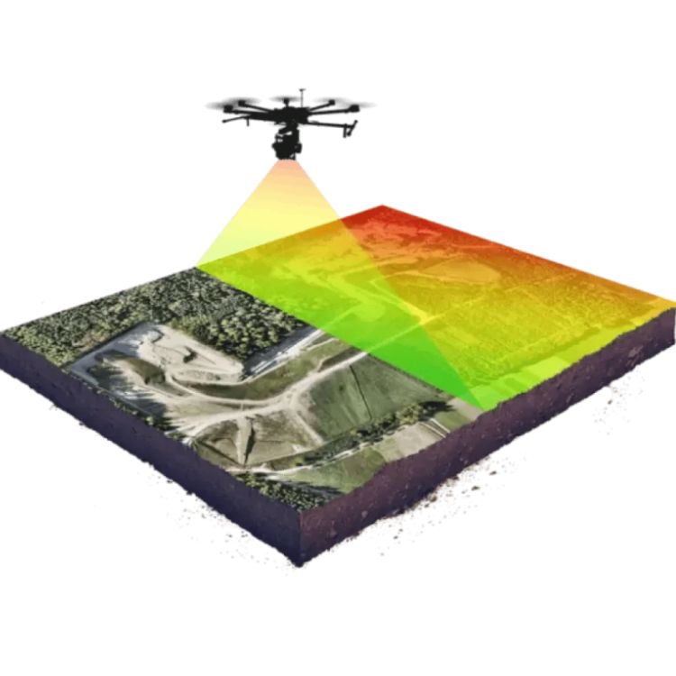
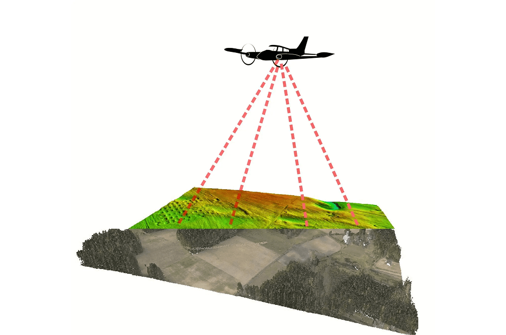
LiDAR (Light Detection and Ranging) uses laser pulses fired from a drone or aircraft to measure distance to the ground and surface features, generating a dense, accurate 3D point cloud of the terrain below.
Technical components
Drone-mounted and airborne sensor platforms, GNSS/IMU positioning, point cloud classification (ground, vegetation, structure), and DEM/DTM, orthophoto and contour generation.
Applications
Where this service is used
01
Oil & Gas
Pipeline ROW corridor mapping and terrain monitoring for safe infrastructure planning.
02
Mining & Quarry
3D terrain models for volumetric calculations, pit monitoring and site planning.
03
Civil Infrastructure
Precise elevation and surface data for road, rail and bridge design.
04
Utilities & Powerlines
Corridor inspection and vegetation-encroachment detection for line safety.
05
Forestry & Environmental
Canopy height, biomass, and coastal/flood zone mapping.
Process
How the assessment is carried out
01
Flight Planning & CAAM Clearance
Site scoping, flight path design and airspace approval before mobilisation.
02
Data Acquisition
Drone or airborne LiDAR scan captures raw laser point data across the site.
03
Point Cloud Processing & Classification
Raw data is cleaned, aligned and classified into ground, vegetation and structure points.
04
Deliverable Generation
Final DEM, DTM, orthophotos, contours and reports prepared for handover.
What we use in the field
How the assessment is carried out
Outputs / Deliverables
What you receive
LAS/LAZ point clouds
Digital Elevation Models (DEM)
Digital Terrain Models (DTM)
Orthophotos
Contour maps
GIS-ready datasets
Malaysian Context
Why this matters here
Local condition
Malaysia's dense tropical canopy and monsoon-driven terrain change make conventional ground survey slow and often incomplete, while CAAM regulates all drone airspace use.
Implication
Canopy-penetrating LiDAR is essential for accurate ground elevation beneath vegetation, and all drone LiDAR flights must be planned and cleared under CAAM before mobilisation.
Integration / Related Services
Often paired with
Slope Hazard Assessment
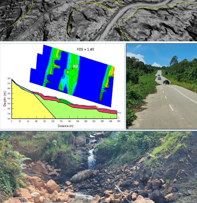
LiDAR terrain models form the base data for slope failure and factor-of-safety analysis.
Digital Shoreline Analysis
Elevation data feeds coastal change detection and shoreline movement tracking.
Debris Flow Assessment
Terrain models support rainfall-triggered debris flow hazard modelling.
Case Study
SSGP Hazard & Risk Assessment using LiDAR
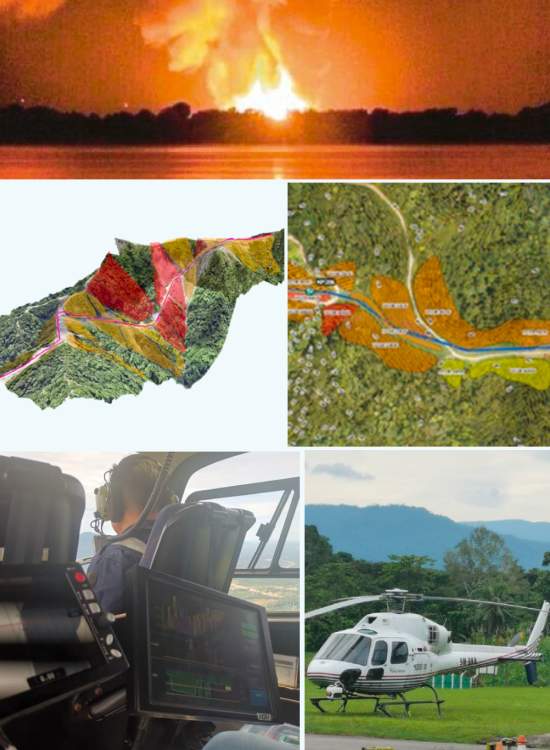
2022 · JKR Terengganu / GoGEO Engineering
Challenge
Assess terrain and hazard risk along a remote, largely inaccessible pipeline right-of-way spanning difficult tropical terrain.
Approach
Airborne LiDAR survey flown along the full corridor length, combined with terrain and hazard classification.
Finding
Identified multiple high-risk terrain segments requiring closer geotechnical follow-up.
Outcome
Delivered risk-informed terrain data to guide maintenance and monitoring prioritisation along the corridor.
Standards / Compliance
LiDAR data acquisition is carried out with reference to Civil Aviation Authority Malaysia (CAAM) drone operation regulations, ensuring flights are planned, approved and flown within legal airspace requirements.
Standards / Compliance
Proof points
01
High-End Equipment — equipped with the latest, high-end LiDAR equipment and software for 100% accurate data and terrain statistics.
02
National-Level Project Experience — since 2020, Geotechnica has handled 20+ state and national-level projects through LiDAR.
03
Certified Engineers & Surveyors — international and local graduate engineers with extensive geo-engineering experience.
04
Custom Report & GIS Integration — accurate reporting documents with full GIS integration where needed.
FAQ
Frequently asked questions
What is LiDAR?
LiDAR (Light Detection and Ranging) is a remote sensing technology that uses laser pulses to capture 3D mapping data. In Malaysia, LiDAR is widely used for topographic surveys, infrastructure planning, flood risk analysis, and forest monitoring.
How much does a LiDAR survey cost in Malaysia?
The cost of a LiDAR survey in Malaysia depends on project size, location accessibility, and data requirements (e.g., aerial or drone-based). Contact us for a customized quote based on your LiDAR mapping needs.
Is drone-based LiDAR legal and safe to use in Malaysia?
Yes, our drone LiDAR operations are fully compliant with Civil Aviation Authority Malaysia (CAAM) regulations. Safety and legal compliance are a top priority in all our geospatial data acquisition services.
What output formats can I expect from a LiDAR survey?
We deliver LiDAR data in industry-standard formats such as LAS/LAZ point clouds, DEM (Digital Elevation Models), DTM (Terrain Models), orthophotos, and contour maps, compatible with most GIS platforms.
Where is LiDAR technology commonly used in Malaysia?
LiDAR is used across various sectors in Malaysia, including:
1. Oil & Gas (pipeline corridor mapping)
2. Mining & Quarry (volume analysis)
3. Utilities (powerline inspection)
4. Forestry & Plantation (canopy height)
5. Environmental & Coastal Studies (floodplain mapping)
Advantages of using LiDAR drones over traditional survey
LiDAR drones offer faster data collection, high-resolution 3D point clouds, and minimal ground disturbance—making them ideal for mapping remote or difficult terrain in Malaysia compared to conventional survey techniques.
How long does a LiDAR mapping project take in Malaysia?
Depending on project scale, most LiDAR mapping projects in Malaysia can be completed within a few days to a few weeks—including planning, data acquisition, processing, and final deliverables.
Can LiDAR penetrate forest canopy & vegetation in Malaysia?
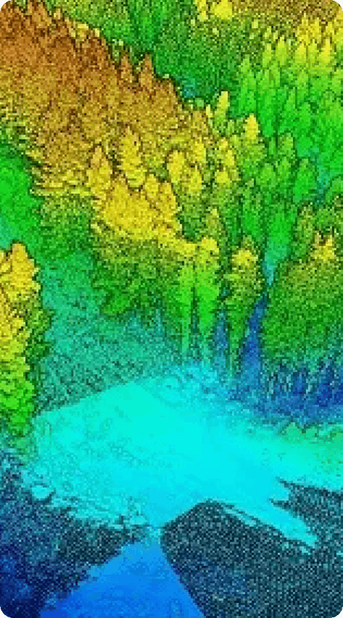
Yes. One of LiDAR’s key benefits is its ability to penetrate dense vegetation, making it ideal for terrain mapping in tropical forest areas like those in Malaysia. This enables accurate ground elevation modeling beneath tree cover.
Do your LiDAR services comply with industry standards in Malaysia?
Yes. At Geotechnica, all LiDAR services in Malaysia comply with national geospatial and engineering standards. Our team includes certified surveyors and geospatial engineers using industry-approved equipment and software.
gallery
Project photography