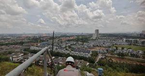
Slope Hazard Assessment

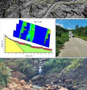
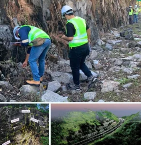
Debris Flow Assessment
Debris flow assessment identifies areas at risk of fast-moving soil and rock movement, especially during intense rainfall in hilly terrain.
- Rainfall Threshold Modelling
- Catchment & Channel Analysis
- Site Inspection & Slope Profiling
- Flow path & Impact Mapping
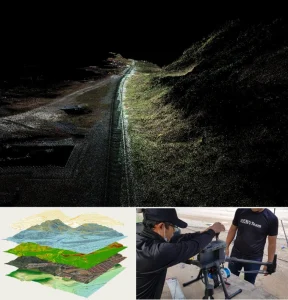
Geoforensic Assessment
Geoforensics helps investigate the cause of ground failures or slope-related damage for legal, insurance, or engineering purposes.
- Expert Witness Reporting
- Construction Failure Analysis
- Ground Movement Investigation
- Subsurface Testing (GPR, ERT)
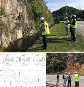
Landslide Hazard Analysis
This service assesses slope stability and landslide-prone zones to support safe design, planning, and mitigation.
- Risk Classification Mapping
- Terrain & Geological Mapping
- Historical Landslide Data Analysis
- Slope Angle & Soil Strength Evaluation
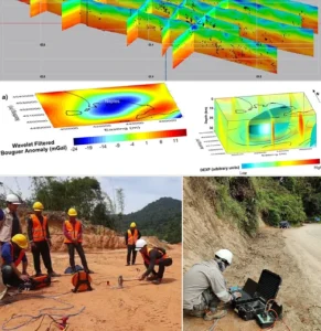
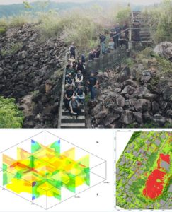
Geohazard-Risk Assessment
Comprehensive evaluation of all geological hazards, including landslides, erosion, and fault movements, for safe land-use decisions.
- Multi-hazard Mapping
- Geohazard Zoning & Reporting
- Vulnerability & Exposure Analysis
- Field Reconnaissance & Data Collection
Seismic Hazard Assessment
Evaluates the potential ground shaking or fault movement risks in development areas, especially near regional fault lines.
- Soil Amplification Study
- Ground Motion Analysis
- Earthquake Risk Modelling
- Seismic Source Identification
Root-Cause Failure Analysis
This service finds the main cause of slope or structural failure, helping prevent future incidents and guide repairs.
- Rainfall & Loading Back-Analysis
- Failure Mechanism Identification
- Rainfall & Loading Back-Analysis
- Subsurface Investigation (borehole, lab tests)


")
 (1)")
")
 (1)")


Integrity | Dedication | Excellence | Adaptability
www.geotechnica.com.my
Navigation Panel
Contact Us
GEOTECHNICA SDN BHD
48-1, Jalan Aman Sinaria 4,
Bandar Tropicana Aman,
42500 Rimbayu, Selangor
Tel: 03-8683 6682
Email: admin@geotechnica.com.my
All rights reserved. Copyright © 2025 GEOTECHNICA SDN BHD