Why Modern Terrain Mapping in Malaysia is No Longer Optional
Centuries ago, cartographers painstakingly explored Malaysia’s formidable landscapes, charting its winding rivers and formidable mountain ranges by hand. Their maps […]
Centuries ago, cartographers painstakingly explored Malaysia’s formidable landscapes, charting its winding rivers and formidable mountain ranges by hand. Their maps […]
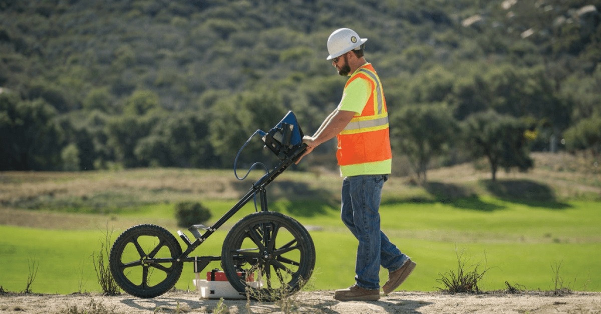
You wouldn’t undergo major surgery without the surgeon first looking at an X-ray, CT scan, or MRI. To do so

Picture the TRX Towers, the Penang Bridge, or the SMART Tunnel. These are monumental feats of civil engineering, symbols of
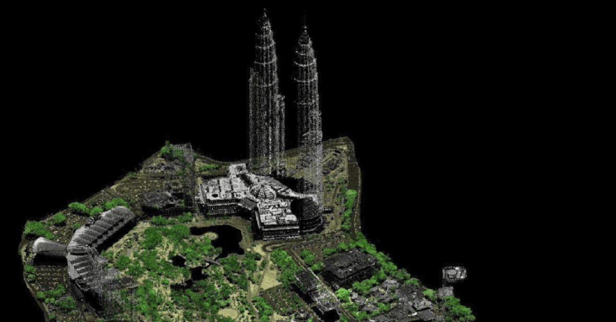
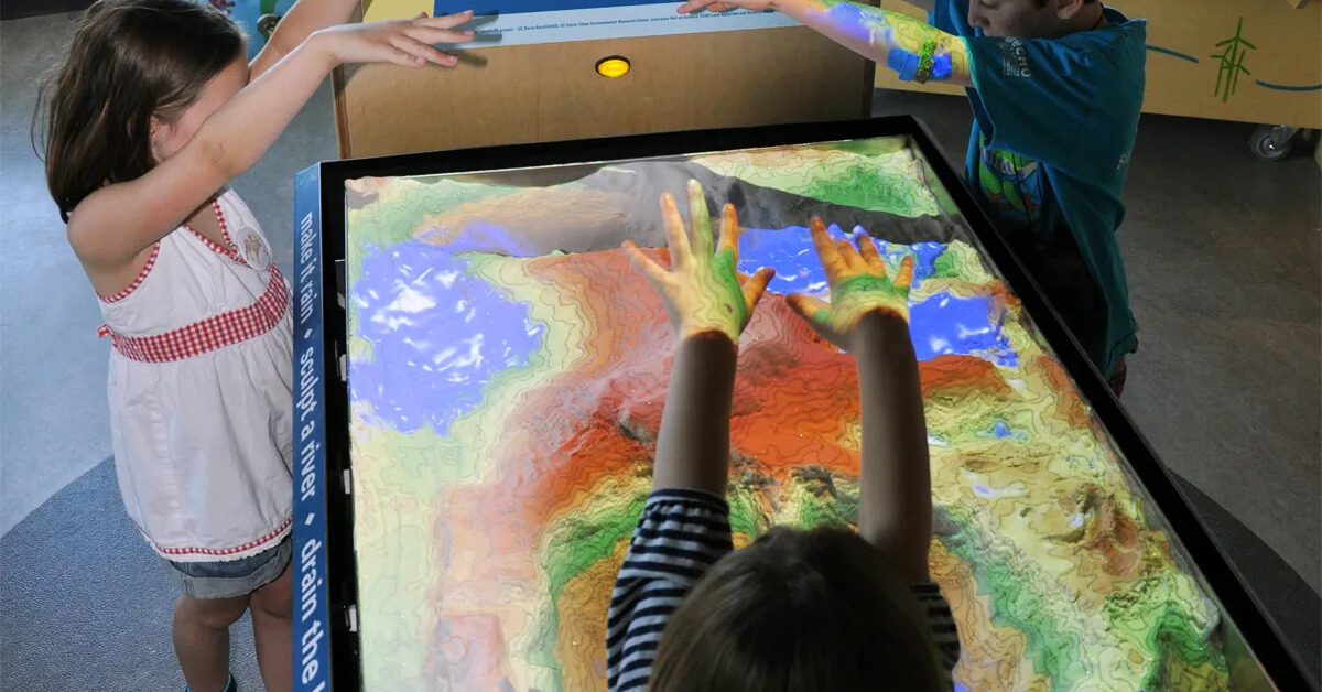
You’ve just received the results from your airborne LiDAR survey. It’s a massive digital file, millions—perhaps billions of tiny points
Imagine this: You’re spearheading a multi-billion Ringgit highway project, carving a vital artery through the dense, unforgiving jungles of Borneo.
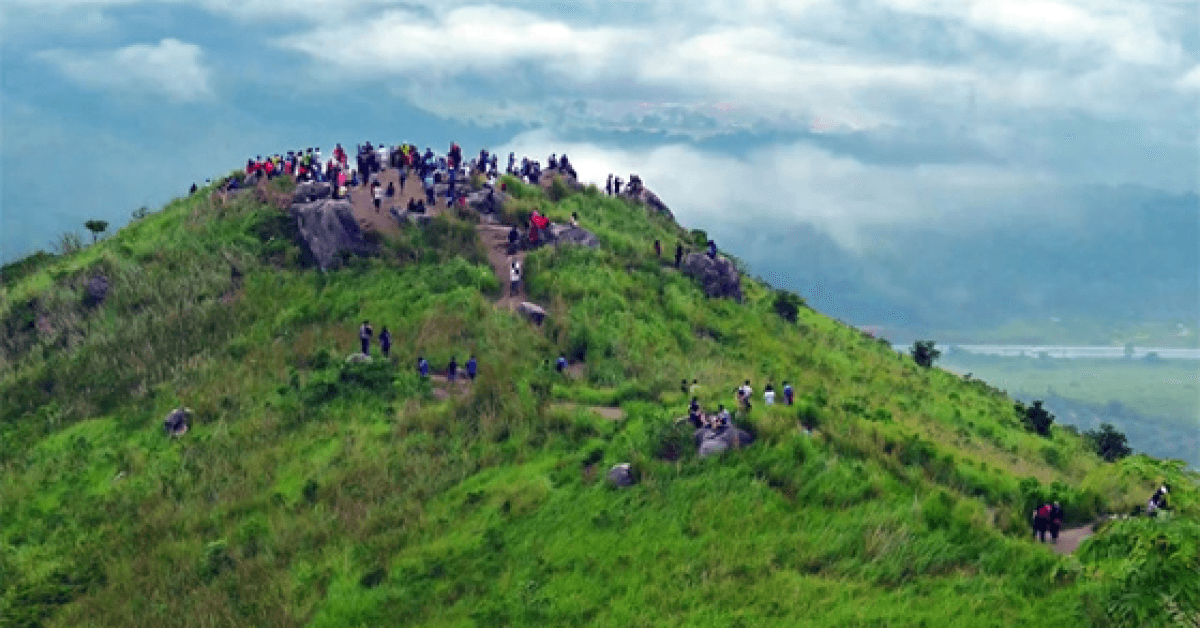
Since 2025 challenges of flash floods, soil stability, and rapid urbanization intersect, there is a pressing need for new ways