Outcome / Problem (+)
What it helps determine
Reveals the rock types, faults, and landforms beneath a site — giving engineers and planners the ground conditions they need before starting construction, mining, or land development.
Specific evidence
Rock unit distribution, fault and fracture locations, terrain stability indicators, stratigraphic layer sequence, structural stress patterns.
Definition / Methodology
Core concepts
Geological mapping is the process of studying and recording the types of rocks, faults, and landforms found on the earth's surface — showing the structure and history of an area's geology.
Technical components
Field surveys, remote sensing, and GIS integration, producing maps that support safer designs, better decisions, and long-term planning across industries.
Applications
Where this service is used
01
Detailed Geological Mapping
High-resolution geological information for engineering, research, and resource planning.
- Rock Unit Identification
- Faults & Fractures Mapping
- Field Data Collection
- GIS Integration
02
Structural Geological Mapping
Mapping folds, faults, and fractures to understand deformation history and stress patterns.
- Fold Geometry Mapping
- Fault Lines & Joint Analysis
- Tectonic Stress Interpretation
03
Mineral Exploration Mapping
- Alteration Zone Identification
- Lithological Boundary Mapping
- Vein & Orebody Trace Detection
04
Preliminary Geological Mapping
Broad-scale survey to understand general geological settings before detailed investigation.
- Terrain Classification
- Regional Rock Distribution
- Initial Site Suitability Screening
05
Stratigraphic Mapping
- Layer Sequence Logging
- Basin & Sedimentation Analysis
- Fossil & Age Marker Identification
06
Geological Terrain Mapping
Combines geology with terrain features to classify land into terrain units for engineering.
- Slope & Material Correlation
- Engineering Geology Recommendations
- Terrain Unit Classification (GT1, GT2)
Process
How the assessment is carried out
01
Desktop Study
Review existing geological maps, satellite imagery, and regional data to plan the survey.
02
Field Mapping
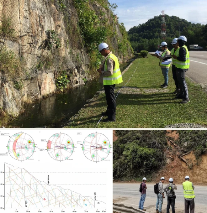
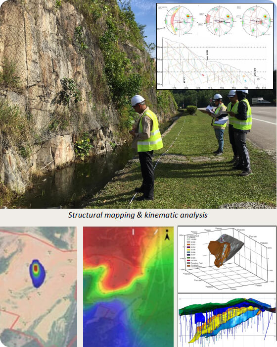
On-ground survey recording rock types, structures, and terrain features.
03
GIS Integration & Analysis
Field data compiled and analysed within GIS to build the geological map.
04
Reporting & Recommendations
Deliver a geological map with engineering recommendations for design and planning.
Equipment & Technology Capabilities / Methods
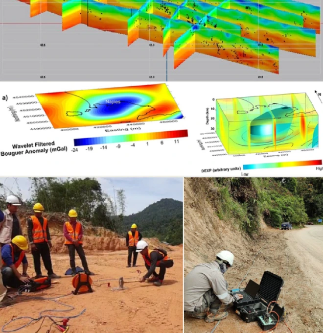
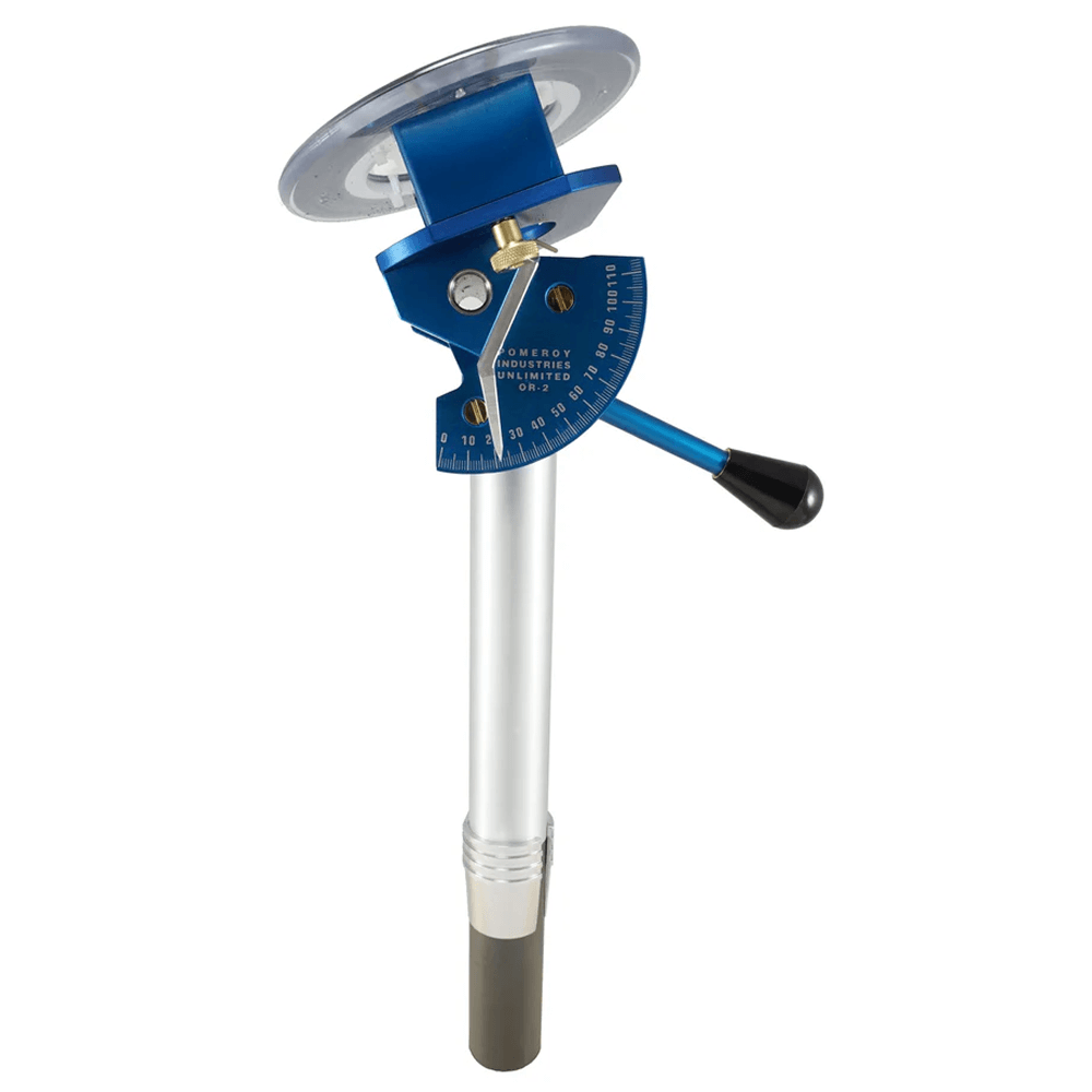
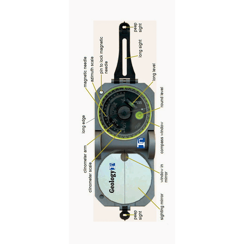
What we use in the field
Outputs / Deliverables
What you receive
Geological map (rock units, faults, structures)
Terrain unit classification (GT1, GT2)
Structural / stratigraphic report
GIS-ready geological dataset
Engineering geology recommendations
Malaysian Context
Why this matters here
Local condition
Malaysia's varied rock formations, faulted terrain and undulating hill country make site-specific geology highly variable across regions.
Implication
Geological mapping is often a requirement from authorities such as JMG, JKR, DOE and Plan Malaysia before development can proceed in geologically sensitive or hilly areas.
Integration / Related Services
Often paired with
Slope Hazard Assessment
Geological structure and terrain unit data inform slope stability and failure analysis.
Geoforensics
Geological mapping context helps determine root cause in forensic investigations.
LiDAR
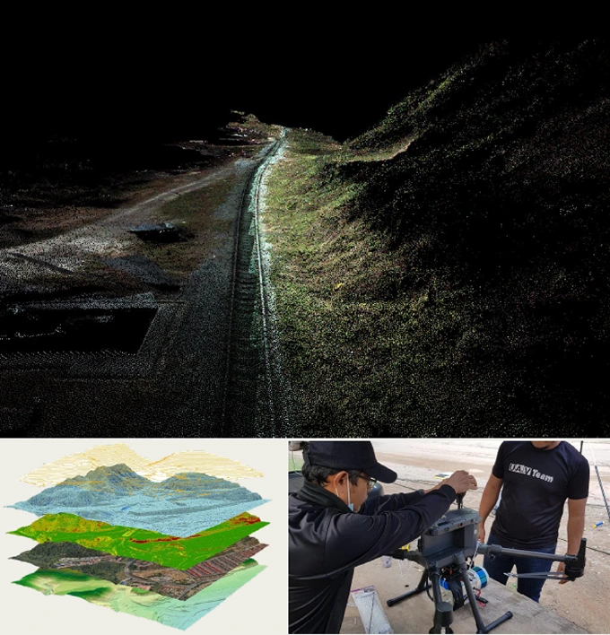
Terrain models complement surface geological mapping across large or remote areas.
Case Study
Geological Terrain Mapping along 40km Road Alignment at Mat Daling

2022 · Euro Saga Sdn Bhd / Geoscience Solution Sdn Bhd
Challenge
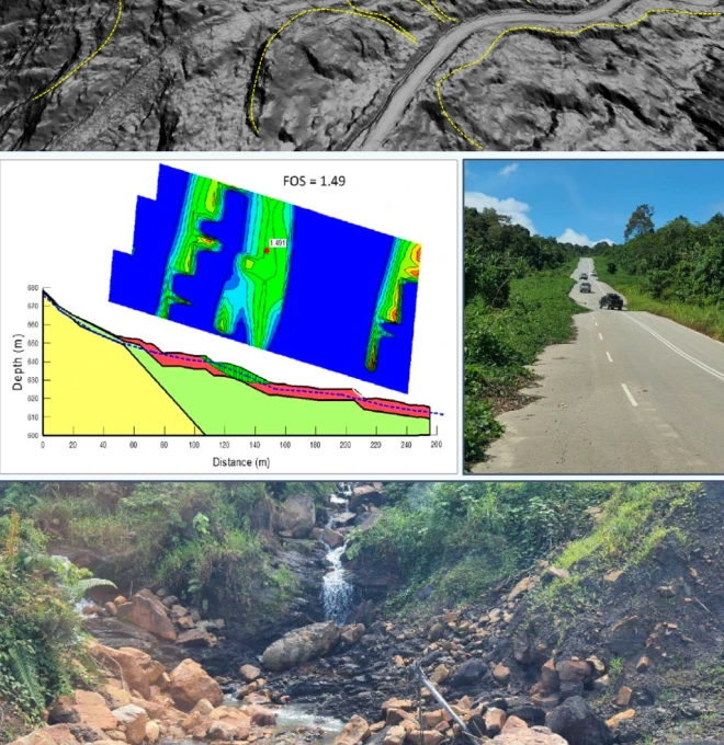
A proposed 40km state road right-of-way at Mat Daling runs through hilly, undulating terrain near Sungai Tembeling — requiring geological terrain data to satisfy multiple regulatory authorities before development.
Approach
Desk study and field assessment conducted across the full 40km corridor to carry out surface geological terrain mapping.
Finding
Mapped terrain activity, instability, slope gradient and geohazards along the entire study area.
Outcome
Delivered mapping to satisfy requirements set by JMG, JKR, DOE and Plan Malaysia ahead of road development.
Standards / Compliance
Geological mapping is carried out to meet requirements set by JMG (Jabatan Mineral dan Geosains), JKR, DOE and Plan Malaysia, under geologists registered per the Geologists Act 2008.
Standards / Compliance
Proof points
01
High-End Equipment — equipped with the latest field survey, GIS and remote sensing equipment for 100% accuracy of data & statistics.
02
National-Level Project Experience — since 2020, we've handled 20+ state and national-level geological mapping and geotechnical projects.
03
Certified Engineers & Surveyors — our engineers & surveyors are international and local graduates with extensive geo-engineering experience.
04
Custom Report & GIS Integration — you'll receive 100% accurate reporting documents with GIS integration where needed.
FAQ
Frequently asked questions
What is geological mapping?
Geological mapping is the process of recording rock types, structures, and formations on the Earth’s surface to create a geological map for planning and analysis.
Why is geological mapping important in Malaysia?
Geological maps help in understanding local rock types, fault zones, and terrain stability—especially for construction, mining, and land-use planning in Malaysia.
What types of geological mapping does Geotechnica offer?
We offer detailed mapping, structural mapping, stratigraphic mapping, preliminary surveys, terrain classification, and mineral exploration mapping.
Where is geological mapping used?
It is used in construction site planning, slope stability analysis, mineral resource exploration, infrastructure design, and academic research.
What is the difference between detailed and preliminary mapping?
Preliminary mapping gives a broad overview of the geology, while detailed mapping provides in-depth information on rock types, faults, and formations at a finer scale.
How is stratigraphic mapping different from structural mapping?
Stratigraphic mapping focuses on the layers and age of rocks, while structural mapping highlights faults, folds, and stress-related features in the rocks.
Can geological mapping detect landslide-prone areas?
Yes. Terrain and structural data from geological mapping are used to identify slopes at risk of landslides, especially in hilly and high-rainfall areas.
How does geological mapping support mineral exploration?
It helps identify rock units, alteration zones, and geological structures that may host mineral deposits, guiding exploration drilling and sampling.
What tools are used in geological mapping?
Common tools include GPS devices, geological compasses, topographic maps, field notebooks, GIS software, and sometimes drones for terrain analysis.
Why choose Geotechnica for geological mapping services?
Geotechnica offers professional geological mapping in Malaysia with accurate fieldwork, GIS integration, and terrain-based recommendations for engineering, mining, and environmental projects.
gallery
Project photography