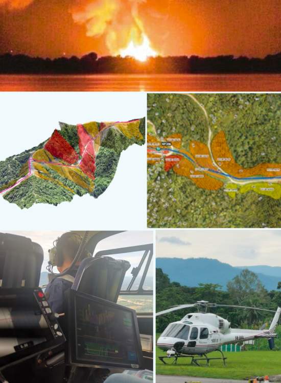
SSGP Hazard & Risk Assessment using LiDAR
Client : JKR Terengganu / GoGEO Engineering
Year : 2022
Job detail:
1. Jabatan Kerja Raya (JKR) of Terengganu initiated Slope Hazard and Risk Assessment study for the development of Pusat Ummah at Kg. Baru, Pulau Redang, Terengganu Darul Iman. The aim of the assessment was to determine the likelihood of any landslide failure, the consequence and risk towards surrounding assets and facilities, and to make recommendations for mitigation action prior to any development plan implementation.
2. The assessment involved using Aerial Photogrammetry to obtain terrain information, which was used to formulate the hazard and risk model. Field data collection was carried out to ensure the risk ratings assigned are reflecting the actual site condition. A conceptual design for mitigation measures that are most appropriate for the topographical and geomorphological conditions of the site was proposed for all Very High-risk rating locations.

