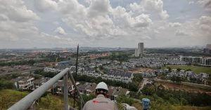
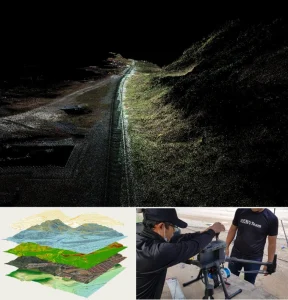
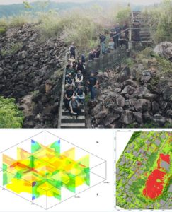
Aerial Photogrammetry Surveying

3D Modeling
Creates accurate 3D models of terrain, structures, and landscapes from aerial images for planning and visualization.
- Drone Image Capture & Overlap
- Point Cloud & Mesh Generation
- 3D Site Reconstruction & Export
Forestry Studies
Monitors forest health, canopy density, and tree count using aerial imagery and vegetation indices.
- Forest Cover Mapping
- Tree Height & Health Analysis
- Biomass & Carbon Estimation
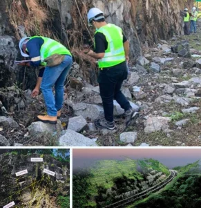
Disaster Assessment
Provides rapid aerial mapping of affected areas for post-disaster response and recovery planning.
- Hazard Impact Mapping
- Before/after Image Comparison
- Damage Area Documentation
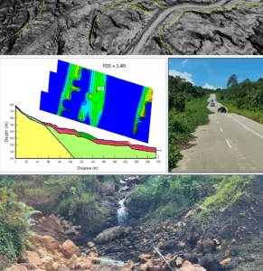
Topographic Mapping
Generates high-resolution topographic maps, contours, and elevation data for engineering and construction.
- DEM/DTM Generation
- Contour Line Extraction
- Surface Analysis & Grading
Agriculture Monitoring
Uses drone imagery to monitor crop health, detect issues, and optimize field productivity.
- Field Zone Mapping
- NDVI Vegetation Analysis
- Irrigation & Pest Detection
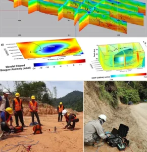
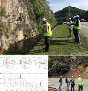
Surveying & Land Planning
Supports land development and planning through accurate aerial surveys and boundary mapping.
- Land Parcel Mapping
- Area & Volume Calculation
- Integration & GIS/CAD for Planning


")
")
")
 (1)")


Integrity | Dedication | Excellence | Adaptability
www.geotechnica.com.my
Navigation Panel
Contact Us
GEOTECHNICA SDN BHD
48-1, Jalan Aman Sinaria 4,
Bandar Tropicana Aman,
42500 Rimbayu, Selangor
Tel: 03-8683 6682
Email: admin@geotechnica.com.my
All rights reserved. Copyright © 2025 GEOTECHNICA SDN BHD