LiDAR Airborne Mapping
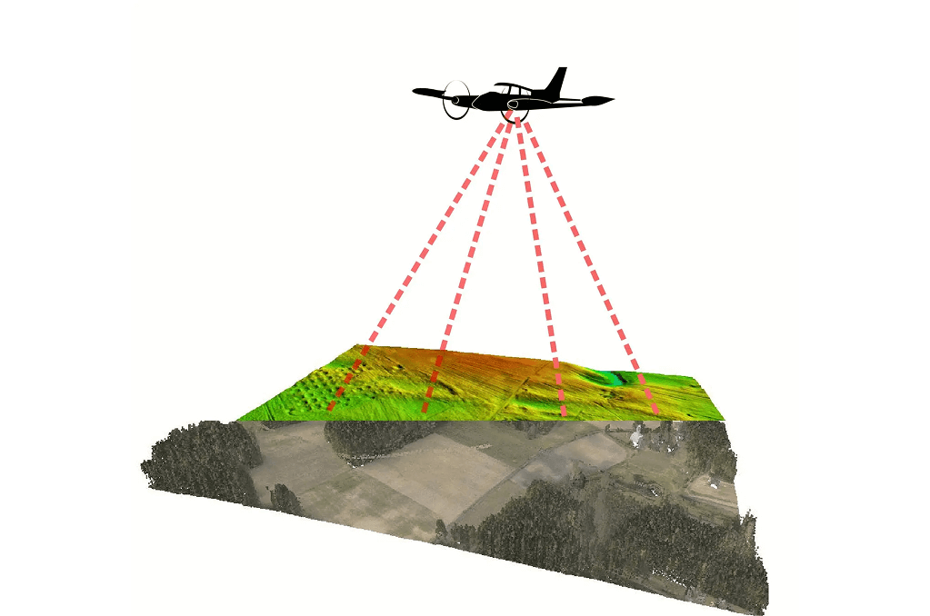
Topographic Airborne LiDAR Mapping
Generate detailed elevation and terrain models from the air.
- Contour Mapping
- Digital Terrain Models (DTM)
- Digital Elevation Models (DEM)
- Surface analysis & Slope Detection
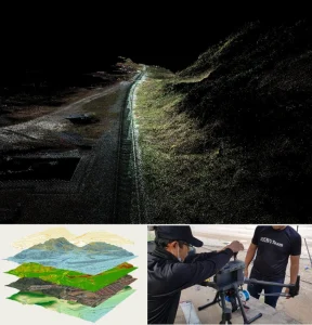
Corridor Mapping via Aircraft or UAV
Capture continuous elevation data along linear paths.
- Maintenance Monitoring
- High-Resolution Corridor Scans
- Clearance & Obstruction Studies
- Vegetation Encroachment Analysis
Forest & Vegetation Structure Mapping
Analyze tree canopy, biomass, and ground elevation under vegetation.
- Forest Inventory Support
- Canopy height models (CHM)
- Tree Density & Volume Estimation
- Deforestation & Reforestation Monitoring
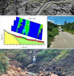
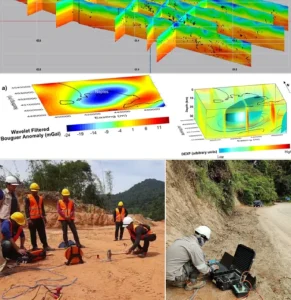
Flood Risk & Hydrological Modeling
Identify flood zones and drainage flow using terrain data.
- Flow Path Modeling
- Watershed Delineation
- Catchment Area Mapping
- Floodplain & Hazard Analysis
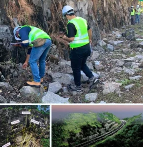
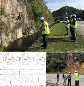
Coastal & Environmental Monitoring
Map terrain changes and shoreline movements over time.
- Coastal Elevation Profiling
- Shoreline Change Detection
- Sediment Transport Analysis
- Baseline Environmental Data Acquisition
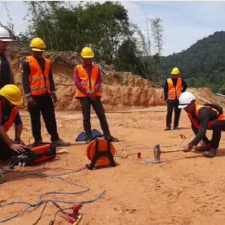
Mining & Quarry Site Surveys (Large-Scale)
Capture volume & surface data across large open-pit mines & quarry.
- Cut-and-Fill Analysis
- Mine Planning Support
- Slope & Stability Modeling
- Surface & Stockpile Mapping
")
 (1)")
")
")
 (1)")


Integrity | Dedication | Excellence | Adaptability
www.geotechnica.com.my
Navigation Panel
Contact Us
GEOTECHNICA SDN BHD
48-1, Jalan Aman Sinaria 4,
Bandar Tropicana Aman,
42500 Rimbayu, Selangor
Tel: 03-8683 6682
Email: admin@geotechnica.com.my
All rights reserved. Copyright © 2025 GEOTECHNICA SDN BHD