Centuries ago, cartographers painstakingly explored Malaysia’s formidable landscapes, charting its winding rivers and formidable mountain ranges by hand. Their maps were works of art and courage, but they were approximations. Fast forward to today. We live in an age where a single flight can capture a mountain range in three-dimensional detail so precise you can see individual rocks.
In 2025, with the pressures of climate change, rapid urbanization, and high stakes development, relying on anything less than the most advanced methods of terrain mapping in Malaysia is not just outdated it’s a critical business risk. A modern, high-definition terrain map is no longer a “nice-to-have”; it’s the essential digital foundation for any serious project.
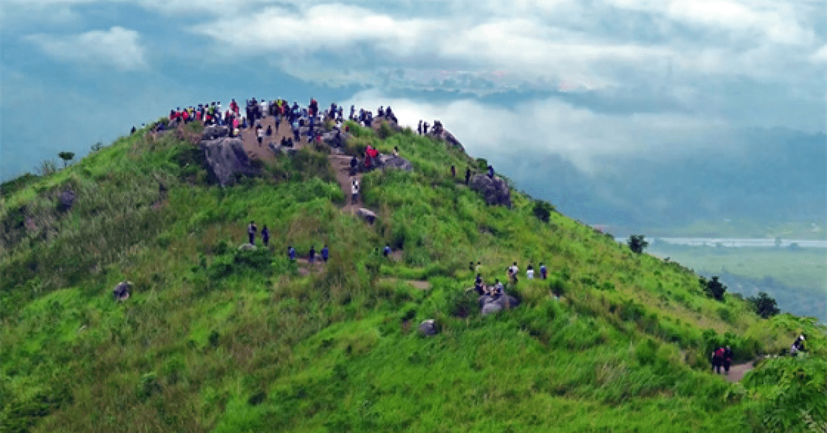
Project : Geohazard Assessment – Genting Highlands
Problem : The Danger of Outdated Maps
Your project’s success is riding on a critical decision: where to build a road, how to design a drainage system, or where to plant your crops. What are you basing this decision on? A decades-old topographic map from a government portal? A satellite view from Google Earth? While useful for a general overview, these tools lack the precision required for real-world engineering and planning.
The Malaysian landscape is not static. As confirmed by data from government agencies like the Jabatan Ukur dan Pemetaan Malaysia (JUPEM), land use changes constantly. Erosion carves new gullies, development alters water runoff, and landslides can reshape a hillside overnight. Using an old map is like navigating a modern highway using a map from the 1980s you’re heading for trouble.
Agony : The Price of Imprecision
Basing a multi-million Ringgit project on inaccurate terrain data is a recipe for disaster.
“We were designing a large-scale agricultural project in Pahang,” explains a (hypothetical) plantation manager. “Our initial layout, based on old contour maps, looked perfect. But when we started clearing, we discovered the actual slopes were much steeper in some areas than the map showed. This led to massive soil erosion during the first rainy season, washing away topsoil and expensive seedlings. Furthermore, our irrigation system, designed for a gentler slope, failed completely. We had to spend a fortune on earthworks and redesigns. A modern terrain map would have shown us the reality from day one.”
This isn’t just about agriculture. An urban planner might design a flood mitigation channel that is too shallow because their elevation data was off by half a meter. A road engineer could design a route that unnecessarily increases cut-and-fill costs by millions because they lacked a precise 3D model of the landscape.
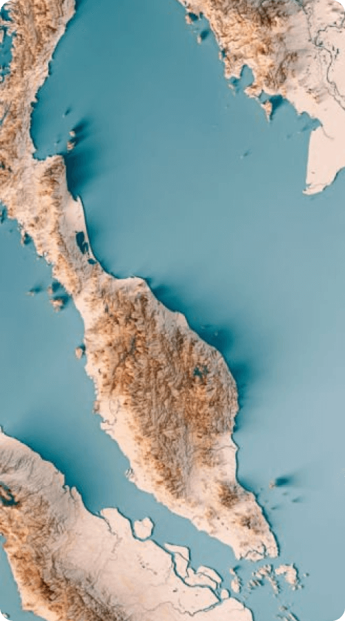
Project : Engineering Mapping at Pulau Redang
Solution : High-Definition Toolkit for 2025
Modern terrain mapping in Malaysia uses a suite of powerful technologies to create a digital twin of the landscape with breathtaking accuracy.
Airborne LiDAR (Light Detection and Ranging)
This is the undisputed champion. By firing laser pulses from an aircraft, LiDAR creates a hyper-accurate Digital Elevation Model (DEM) of the “bare earth,” even through dense jungle canopy. This is how you get the most accurate data, which is why the first step is always a high-quality LiDAR survey.
Photogrammetry (Drones/UAVs)
Drones are perfect for mapping smaller, specific sites. By taking hundreds of overlapping high-resolution photos, specialized software can stitch them together to create detailed 3D models and orthomosaic maps.
Satellite Imagery
For large-scale regional planning and monitoring land-use changes over time, high-resolution satellite data provides an invaluable macro-view.
Benefits of HIgh-Definition Tech in Terrain Mapping
This technology delivers far more than a simple map. It gives you actionable intelligence:
- Ultra-Precise Contour Maps: The lifeblood of civil and geotechnical engineering design.
- Slope & Aspect Analysis: Instantly identify areas at high risk of landslides or, conversely, areas with the perfect slope and sun exposure for agriculture.
- Watershed & Drainage Analysis: See exactly how water will flow across your property, allowing you to design perfectly optimized and effective drainage systems.
- 3D Visualization: Fly through a virtual model of your site, giving stakeholders an intuitive understanding of the project landscape before a single shovel hits the ground.
See how we apply this data in our services: geotechnica.com.my/services. The Geotechnica team translates this complex terrain data into actionable plans, which you can learn more about in our guide to understanding geoforensics..
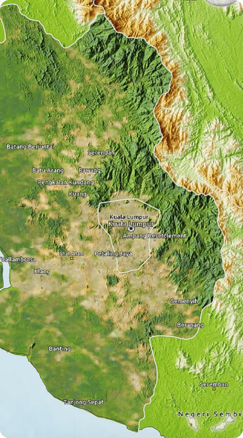
Project : 40KM Terrain Mapping at Mat Daling
The Transformation: Planning with Future-Proof Clarity
In 2025, the challenges are greater than ever. The Department of Statistics Malaysia (DOSM) continues to report population growth and urbanization, increasing the pressure on land resources. Climate change is leading to more intense rainfall and a higher frequency of weather-related disasters. In this environment, precision planning is not a luxury it’s a necessity for survival and success. Modern terrain mapping allows you to mitigate these risks proactively, designing with nature instead of fighting against it.
For any significant land development, infrastructure project, or environmental management plan, a detailed, up-to-date understanding of the ground is paramount. Accurate terrain mapping in Malaysia is the foundational layer upon which all smart, safe, and sustainable projects are built. Don’t bet your project’s future on an outdated view of the world.
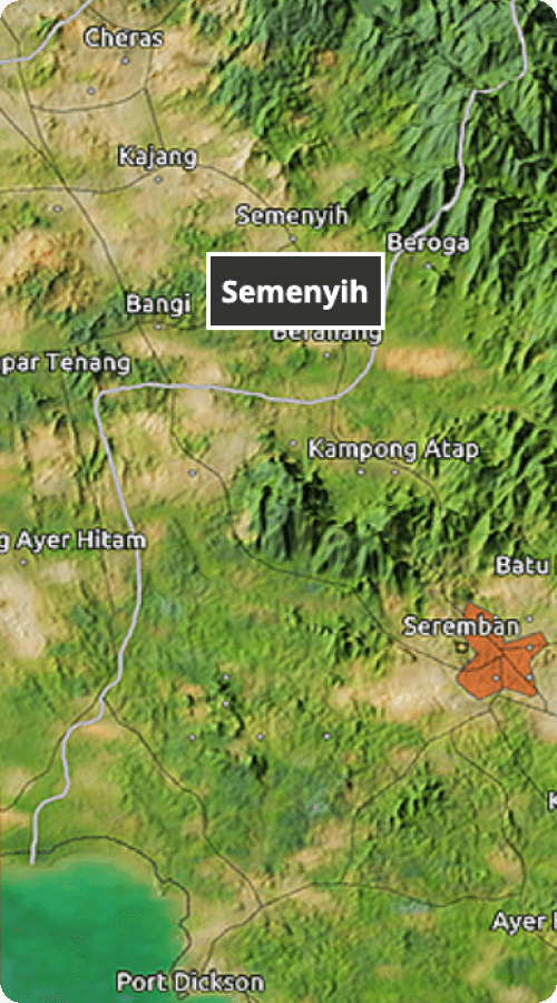
Service : Geological Terrain Mapping by Geotechnica
The experts at Geotechnica can assist and guide you in acquiring the high-definition view of the ground you need to succeed in 2025 and beyond. Contact us today to bring your project into sharp focus.

