ENVIRONMENTAL SUSTAINABILITY
Canopy cover is a basic metric for measuring the extent to which we share our space with trees.

INTRODUCTION
Vegetation Assessment
Tree canopy cover can be defined as the area of leaves, branches, and stems of trees covering the ground when viewed from above. It is a two-dimensional metric indicating the spread of tree canopy across an area, and it can be used to gain a basic understanding of the ecosystem services provided by the urban forest.
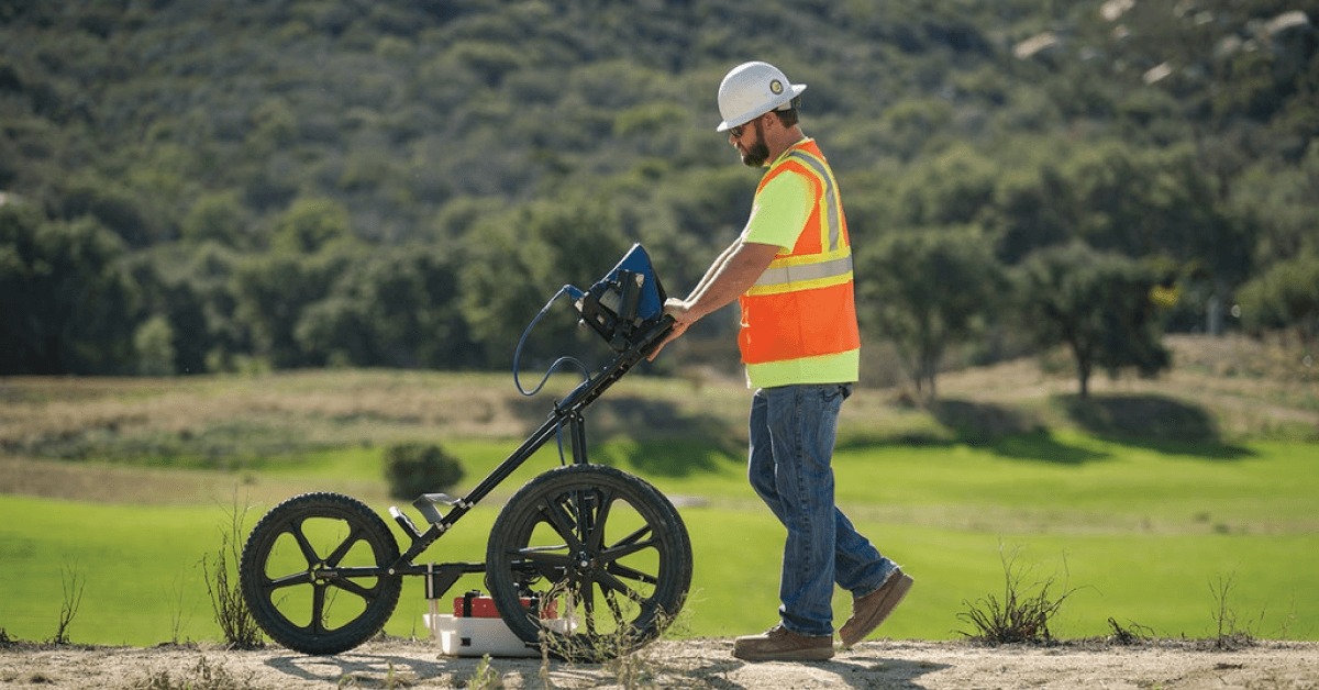
A canopy cover assessment is an assessment of the area of ground directly covered by the leaves and branches of vegetation and is expressed as a percentage. The assessment will be conducted using generated high resolution orthophoto by delineating the presence of the forested/canopy area within AOI. The principal objective of the tree canopy cover assessment is to help understand the urban forest resource, specifically the amount of tree canopy that exists on an individual site at present.

Tree Height estimation
Canopy Height Models (CHMs) derived using a structure-from-motion algorithm is one of the primary methods for assessing tree height and density. The CHM, also known as the normalized Digital Surface Model (DSM), can depict the canopy surface and is the base data for tree height and density assessment (Tu et al. 2019, 2020). Two approaches for CHM generation are raster-based and by using point clouds directly (Khosravipour et al. 2015). The raster-based method for CHM creation is computed by subtracting the Digital Terrain Model (DTM) from a DSM (Lim et al. 2016), while the point clouds are used to classify the ground points and treetop points, and then calculate the height.

Diameter at Breast Height (DBH) estimation
The DBH (Diameter at Breast Height) can be estimated indirectly from LiDAR data using statistical relationships or direct measurements if the raster is of high enough resolution. This assessment typically doesn’t capture the exact DBH directly but can be inferred by crown diameter, height, field measurement and other attributes. For field measurement, extract a ring of points around the tree stem at approximately 1.3 meters above ground level, which can be used to calculate DBH directly.
??? =????????????? / ?
There are a few measurements taken on field, and those measurement were inserted into a machine learning software (i.e. DeepForest) to do calculation and estimation based on field measurements.

Tree Crown Segmentation and Size estimation
Canopy cover is a metric often used to describe the canopy structure of the forest. Defined in the USDA Forest Service Common Stand Exam Users Guide (2010) as “the percent of a fixed area covered by the crown of an individual plant species or delimited by the vertical projection of its outermost perimeter; small openings in the crown are included”. This differs from canopy closure in that canopy cover does not take into account light interception and other factors that influence microhabitat (Egan 2010).
In contrast, using the CHM explicitly bases the estimates on a canopy projection. The CHM raster is a 2-dimensional depiction of canopy area. Presumably each pixel with a height value greater than 3 meters is considered tree canopy. This threshold could be altered and applied to derive canopy cover for any canopy strata of interest. It is possible to detect the tree canopy tops and separate tree crowns of coniferous trees using height and image information. The algorithm is based on the use of a Local Maximum Filter and Watershed Segmentation.